Grenoble – Guillestre – Grenoble: Two Days Across the Southern Alps
Activity stats
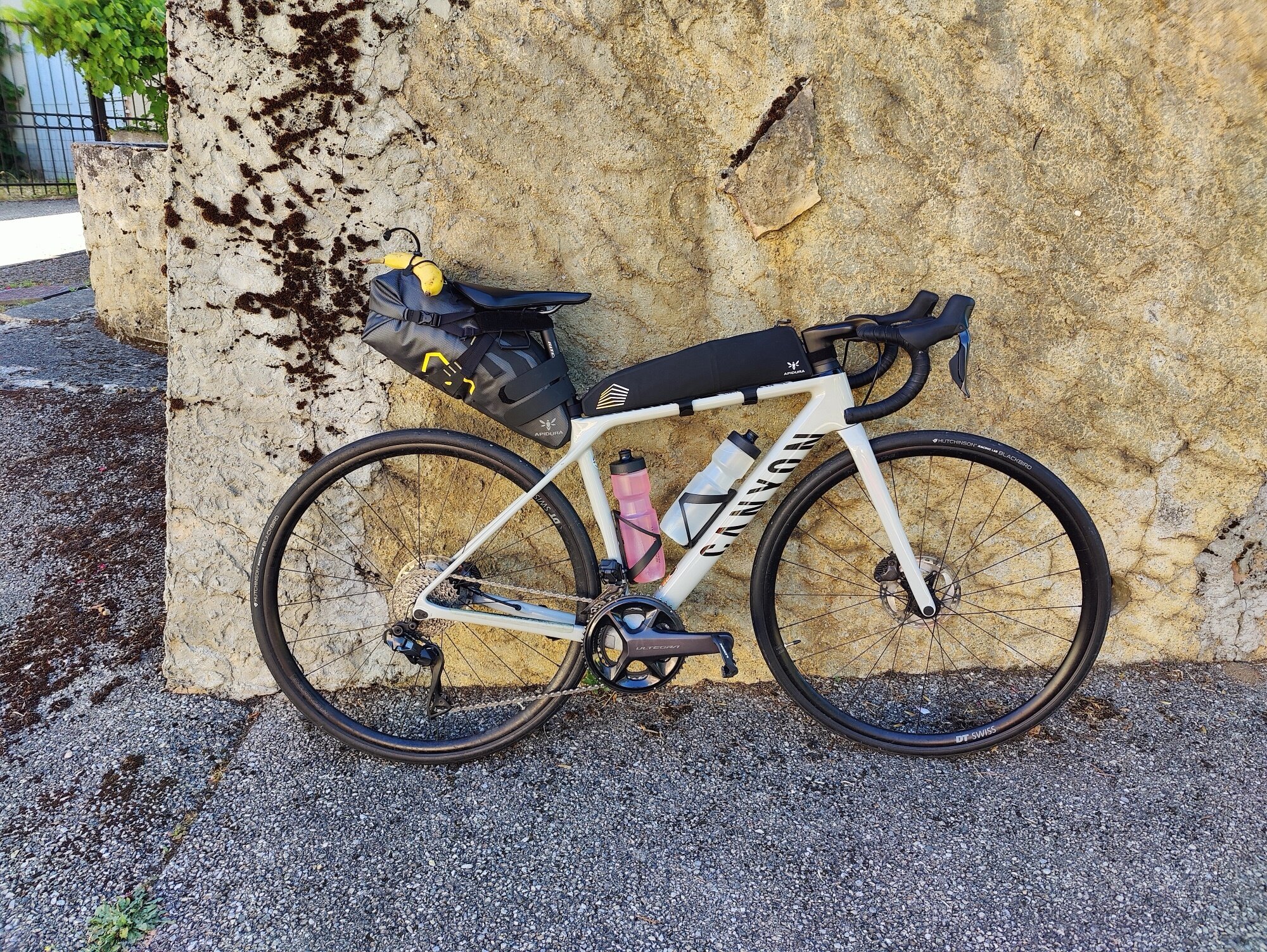
In June 2025, I wanted to try something I’d never done before: a multi-day ride with bags on the bike. Until then, all my cycling had been day trips — I’d always come home to sleep, change clothes, and recover. But I had the Route des Grandes Alpes planned for a few weeks later, and that would mean being self-sufficient for several days. So I figured I’d test the whole setup on a weekend first. The weather was good, the calendar was clear — a perfect window.
Looking at the map from Grenoble, a loop south toward Embrun and Guillestre made sense: a kind of two-day tour around the southern Écrins, with distances and elevation close to what the Grandes Alpes stages would demand. Not easy by any means, but that was precisely the point — to get a realistic preview of what loaded riding in the mountains actually feels like.
Day 1
Grenoble → Guillestre
170.9 km | 2,912 m D+ | 2,155 m D- | Max 1,272 m
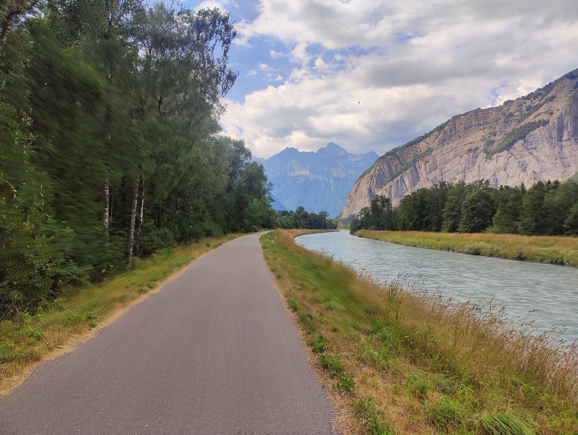
I woke up early on Saturday and rolled out heading south. I’d prepared the route carefully beforehand — quieter roads, more pleasant for cycling, with water refills planned along the way. The first stretch followed roads I already knew, all the way to La Mure. From there, everything was new — at least by bike.
There’s something genuinely pleasant about setting off like that: just your bike, a few bags, good weather, and a whole day ahead. Going slower means you can stop wherever you want, take in the landscapes, feel the distances and the elevation in a way you never do from a car.
Past La Mure, I’d planned to take a small winding road that cut down through the valley a few kilometres further on. But the road was closed — blocked off entirely. This is the kind of thing that happens more often than you’d think in the mountains: roadworks, rockfalls, mudslides, local events. You prepare an itinerary at home, and on the ground, reality has other plans. I stopped, pulled up the map, found a detour that was manageable, and let the GPS recalculate from there.
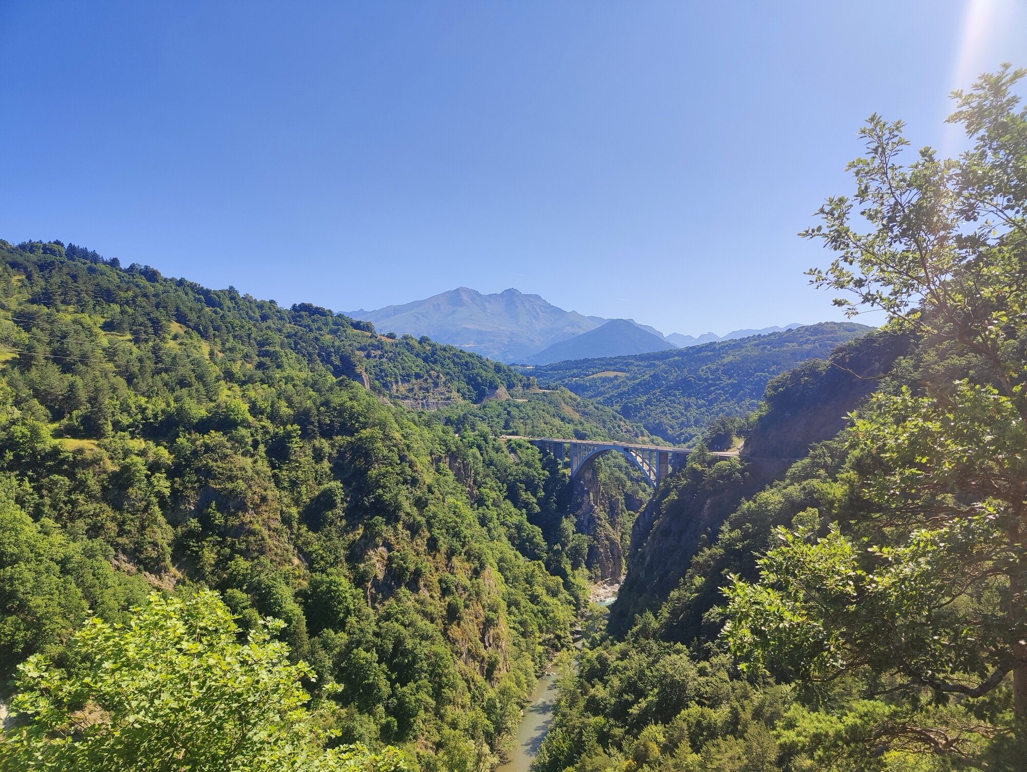
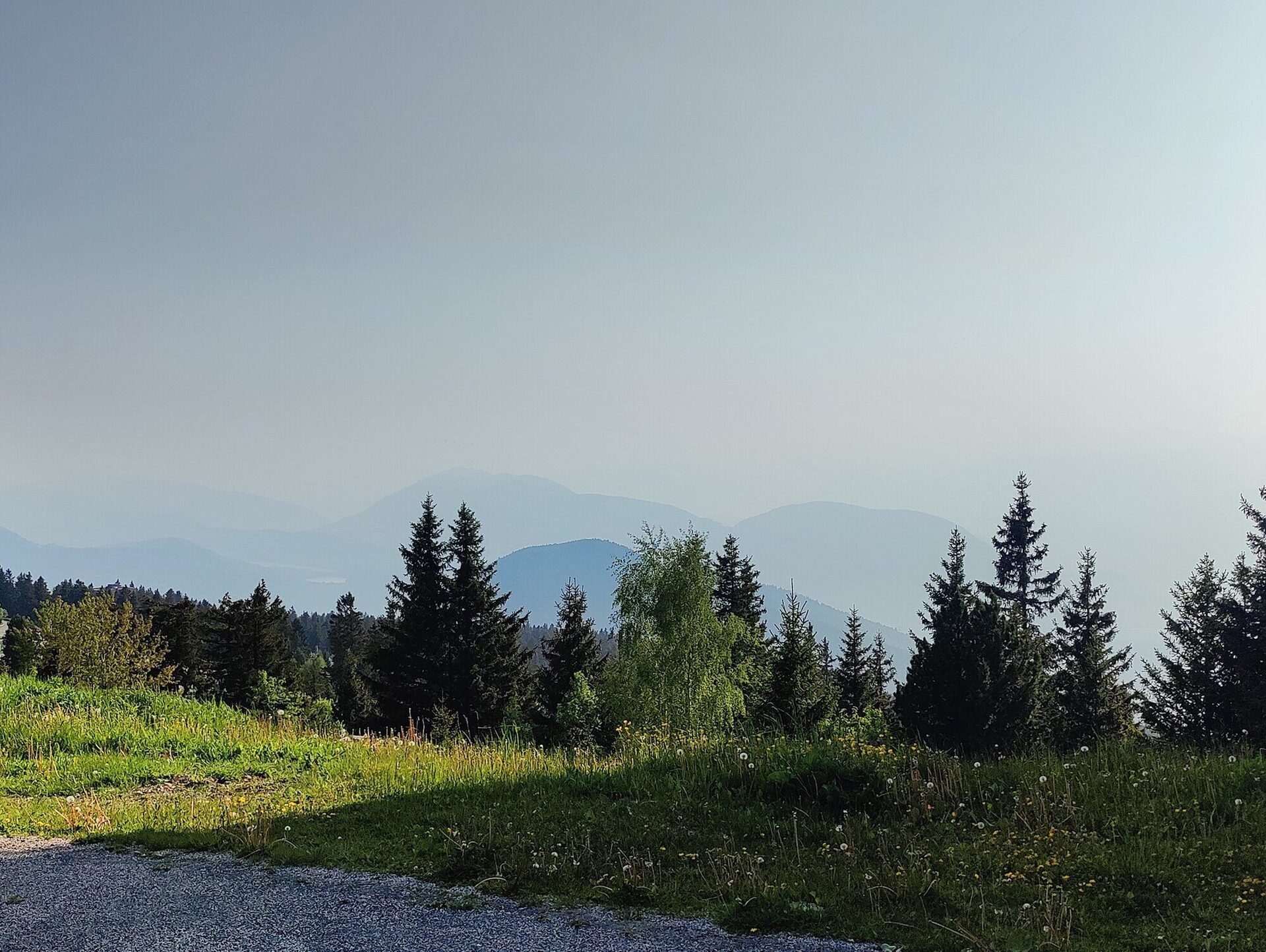
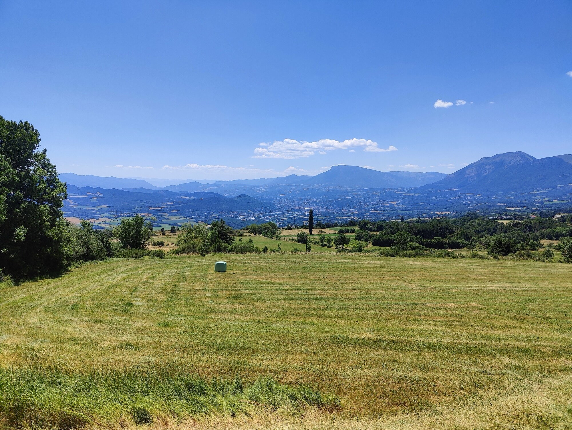
The overall shape of the day was a strong climb early on to reach the Trièves plateau, then a long succession of rolling ups and downs heading south — with the endpoint sitting much higher in altitude than Grenoble. I stopped for lunch just before Corps, below the Dévoluy massif. A good spot to refuel before the long stretch ahead.
Some sections ran along the Route Napoléon, but I’d planned for that and routed onto quieter roads wherever possible — the N85 carries more traffic than you want on a loaded touring bike. At one point I passed a sign for the Col du Noyer. Tempting — it’s a well-known climb in the area — but that would have to wait for another day. Direction south.
After the lake, the road crossed into the Hautes-Alpes and climbed through wide-open, rolling terrain toward Gap. The valleys broadened, the air felt drier, and the road ran across exposed plateaux with long views in every direction.
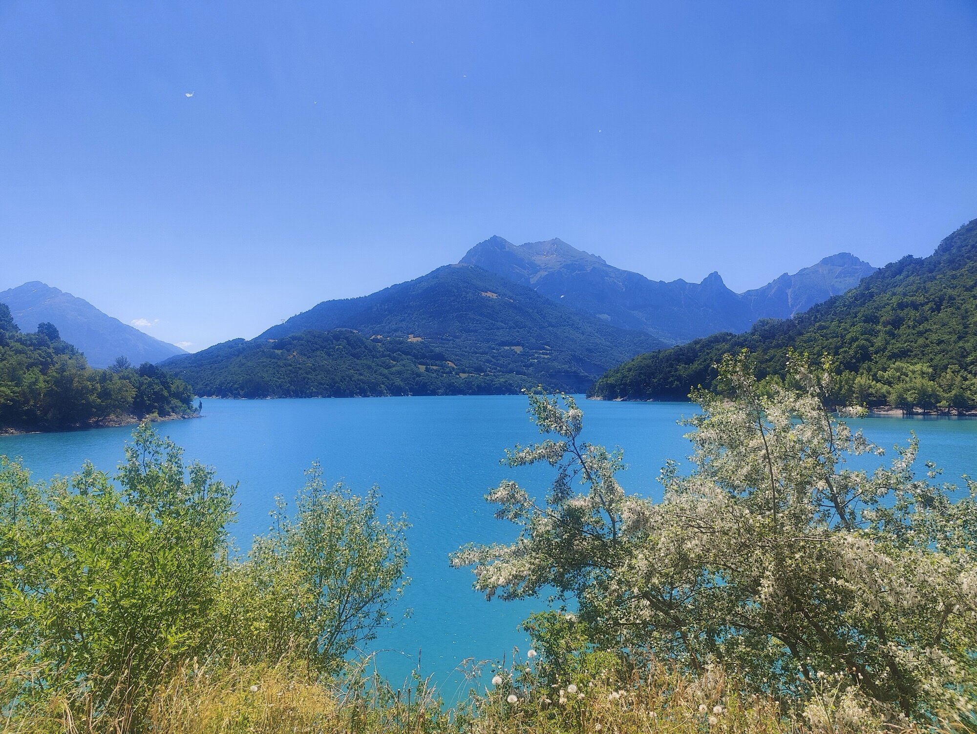
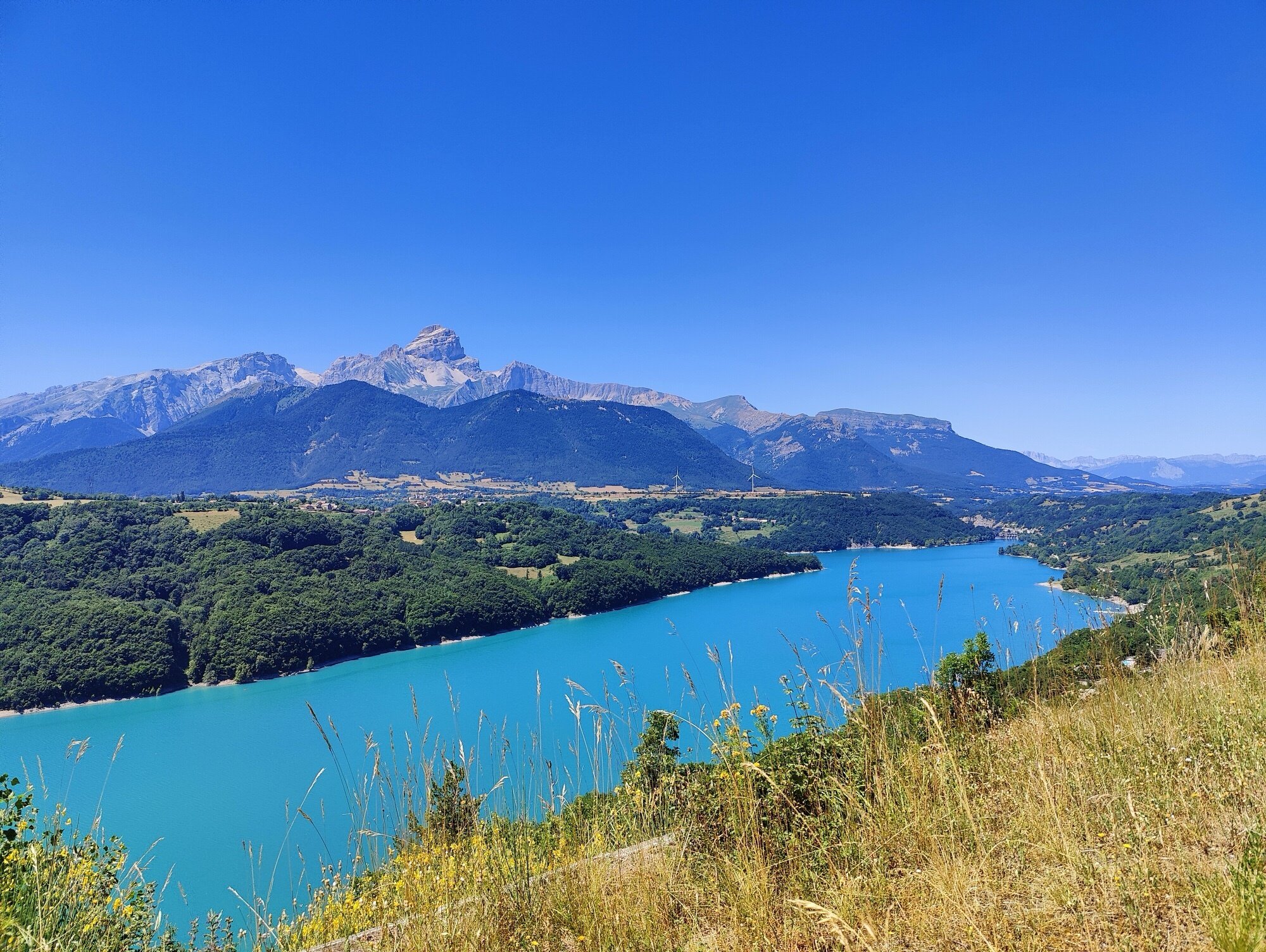
I reached Lac de Serre-Ponçon in the afternoon, and it was good to see it again. I’d been here as a kid, and more recently when I came through on a hiking trip in the Queyras. But crossing the bridge by bike, with the vast expanse of water stretching out on both sides — that was something else entirely. The lake is impossibly blue, the massive silhouette of the Grand Morgon anchoring the far shore. One of those stretches where you keep glancing sideways and forgetting to pedal.
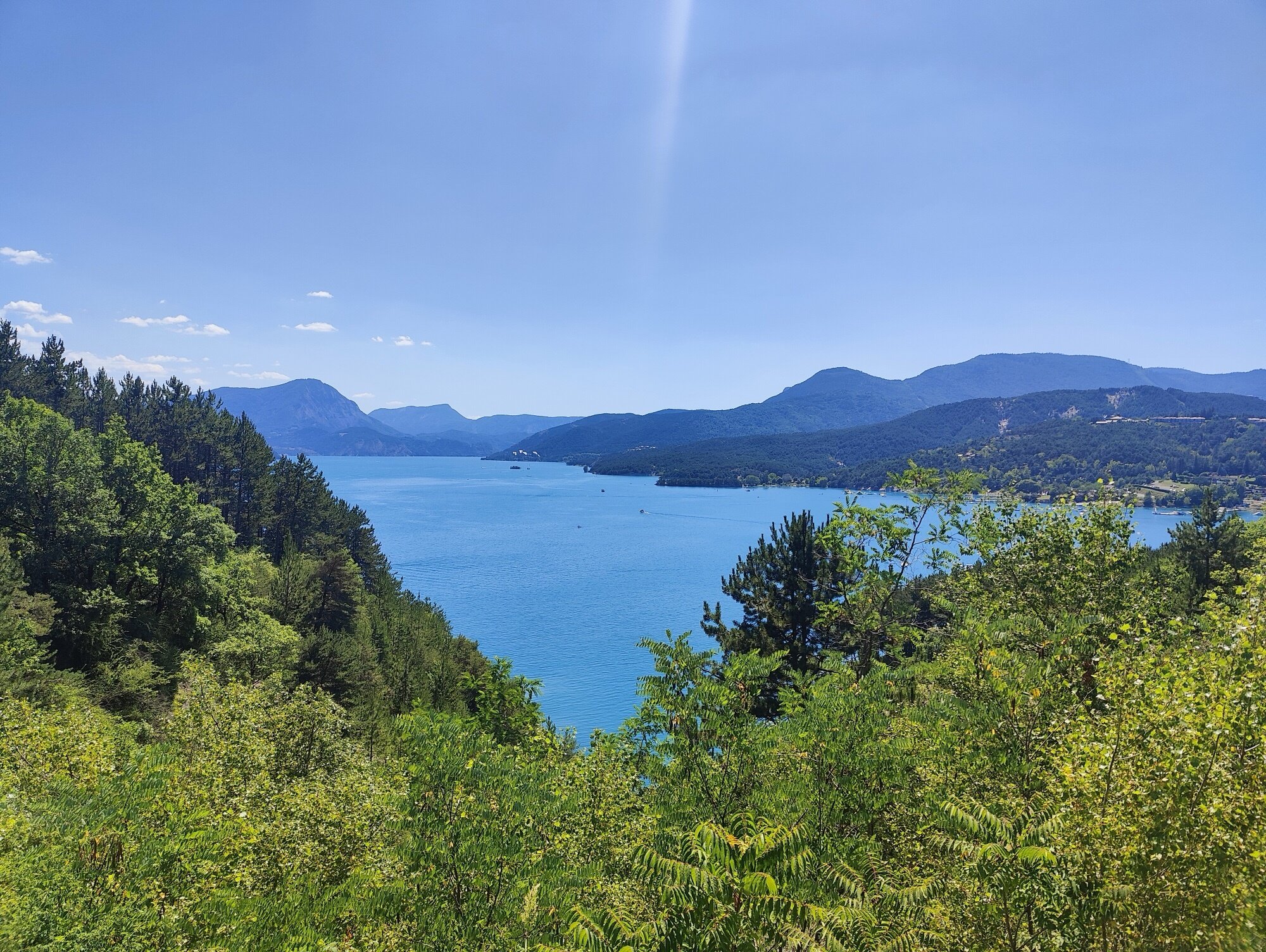
I didn’t pass through Embrun directly — the old town sits up on its rock bluff above the Durance, and I didn’t need the extra climb. Instead I took secondary roads just below, which joined up with the corniche road toward Guillestre: the Balcons de la Durance. A beautiful stretch — fine views over the valley, barely any traffic, exactly the kind of riding you hope for at the end of a long day.
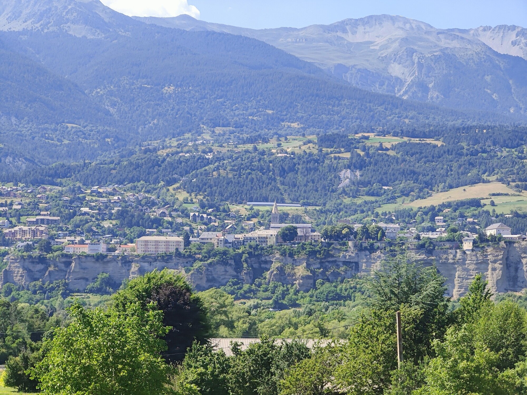
I arrived in Guillestre in the late afternoon — 171 kilometres, nearly 3,000 metres of climbing, legs tired but still turning. Tomorrow was the real test: the Col d’Izoard.
Day 2
Guillestre → Grenoble
170.2 km | 2,688 m D+ | 3,461 m D- | Col d’Izoard (2,360 m) + Col du Lautaret (2,058 m)
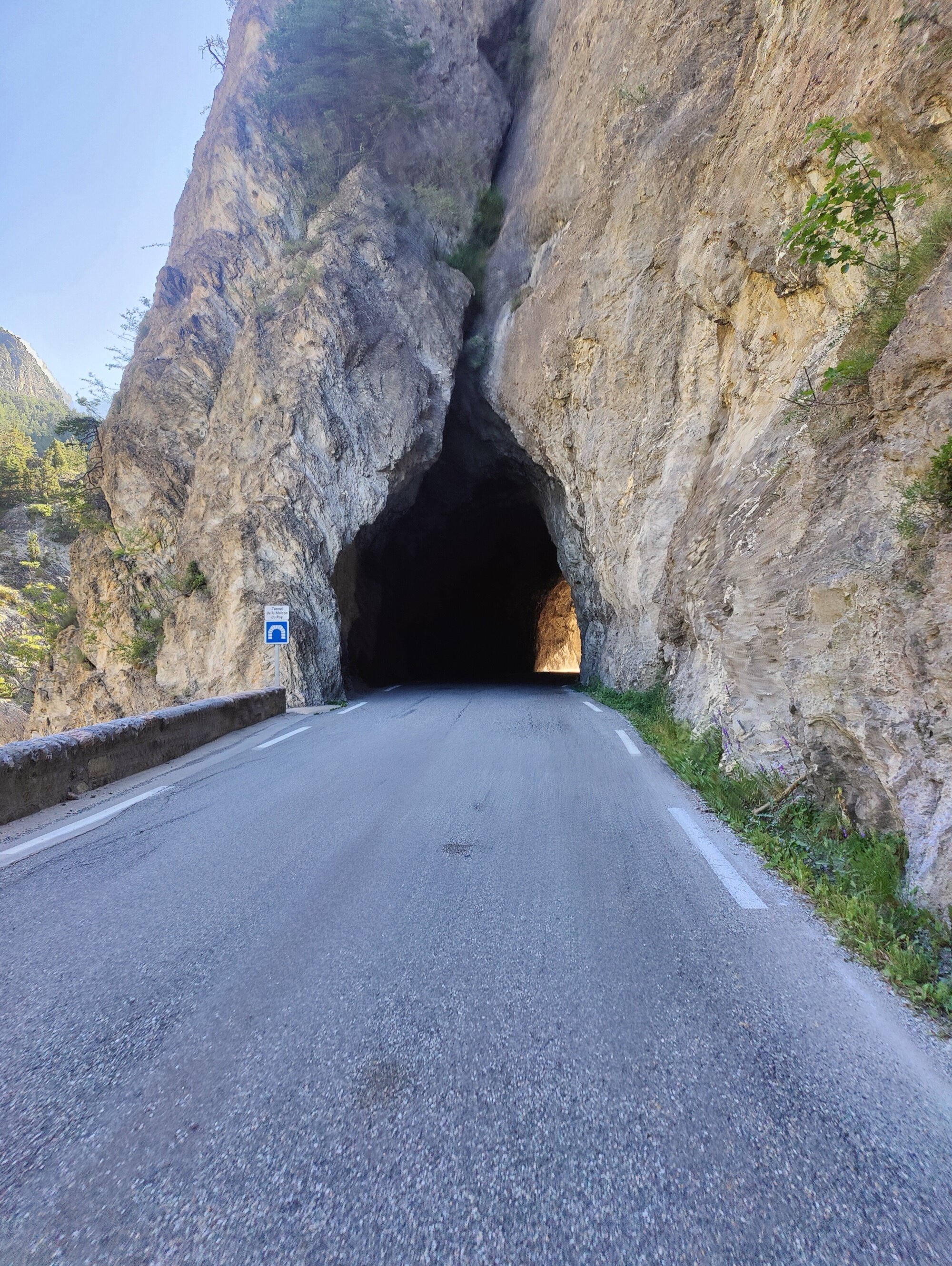
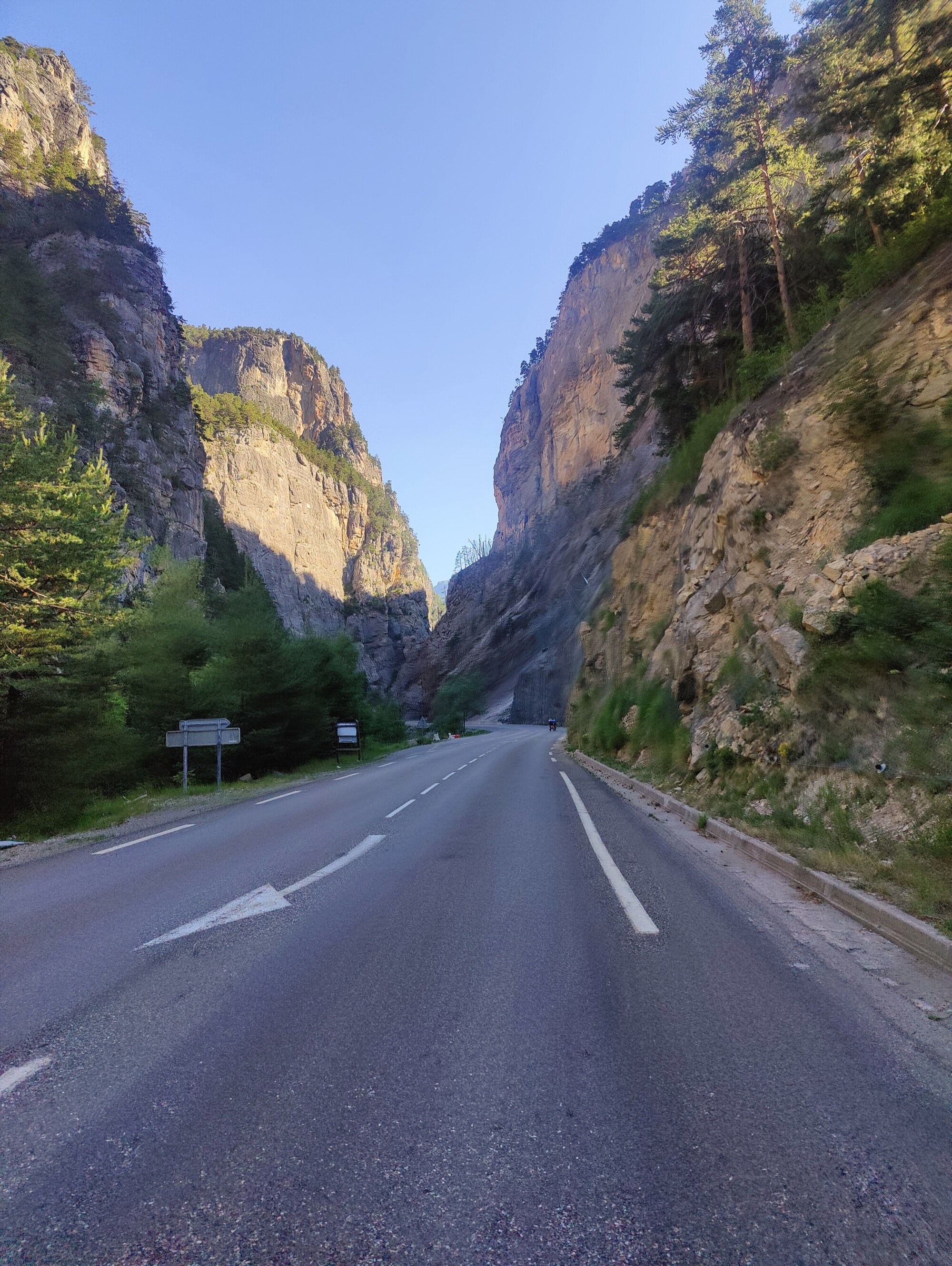
I left Guillestre early again. Another good day in the forecast, and this time the ride opened with immediate intensity. From Guillestre you’re right at the gates of the Queyras park, and the first kilometres plunge into the Combe du Queyras — a narrow gorge where the road squeezes through tunnels blasted into the rock and passes between cliff walls that block out the sky.
I fell in with a group of cyclists near the start. At first I thought I’d stumbled into a race, but it turned out to be a local club doing a week-long challenge — a set number of kilometres and elevation over several days. It was nice to have company in the early morning, and I tried to hold their wheel on the gentle false flat, which helped me settle into a rhythm.
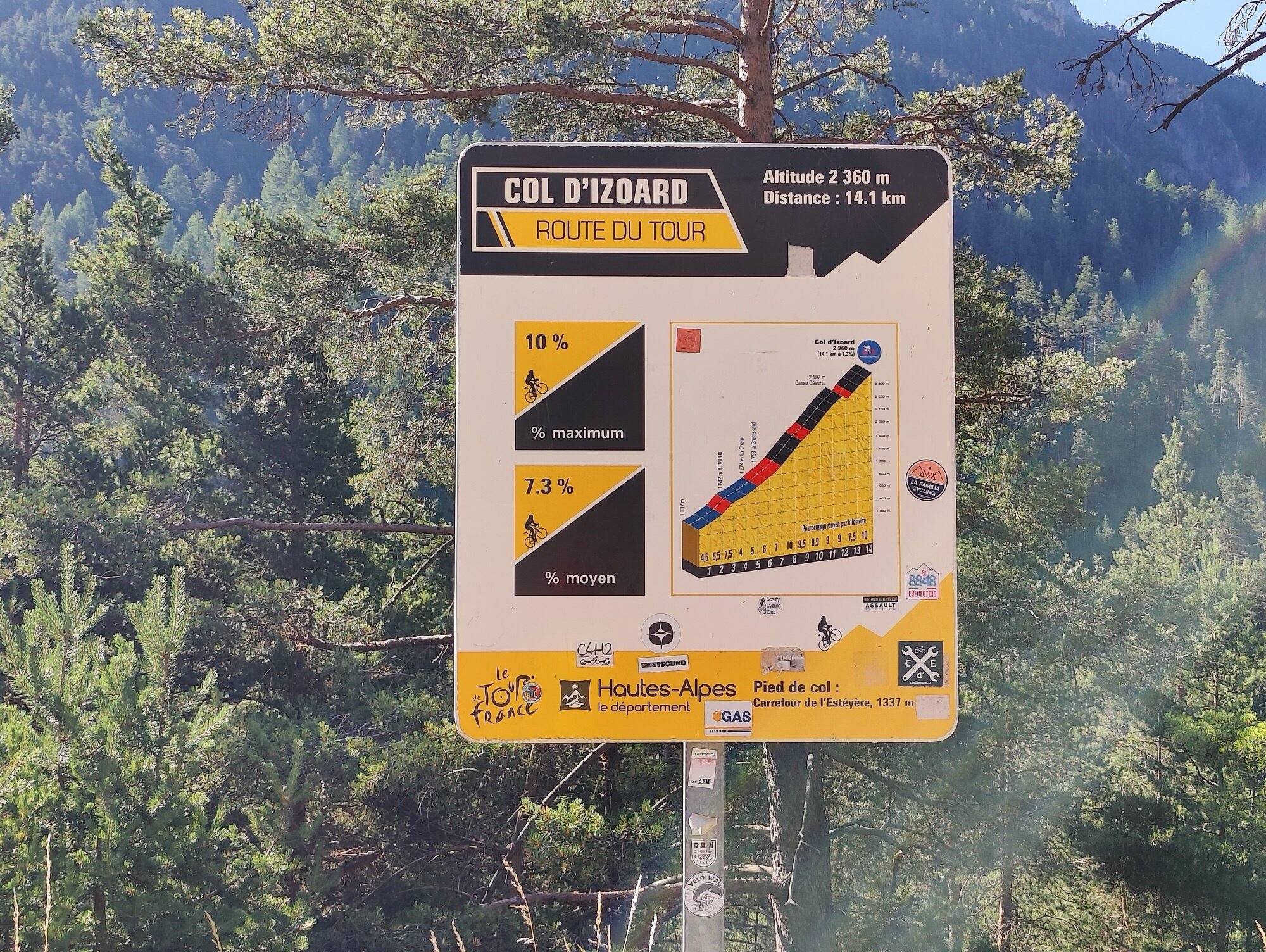
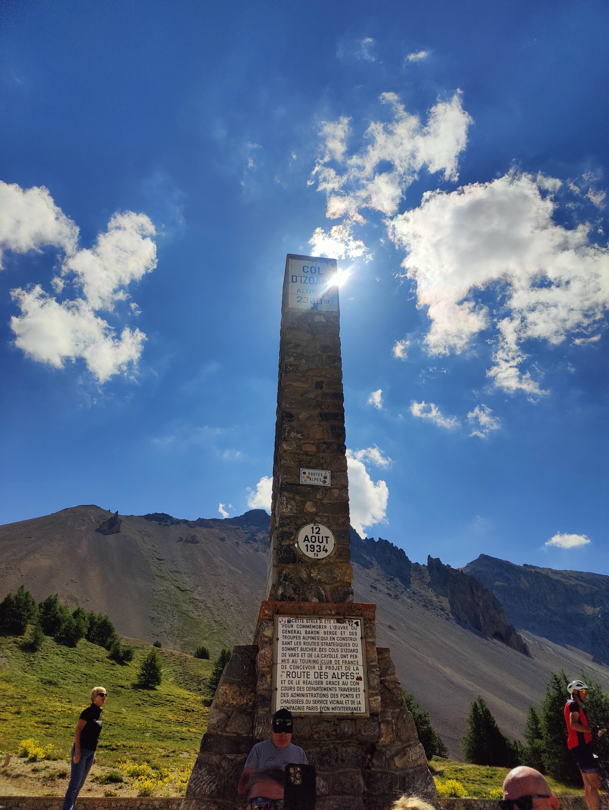
Col d’Izoard — 2,360 m
At the intersection before Château-Queyras, the official Tour de France climb marker sets the tone: 14.1 km at 7.3% average. No ambiguity about what’s coming.
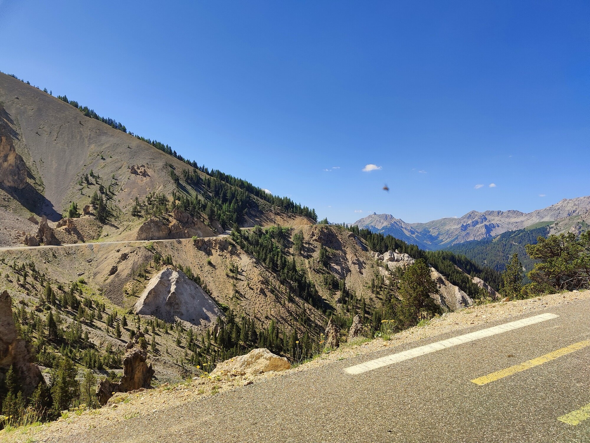
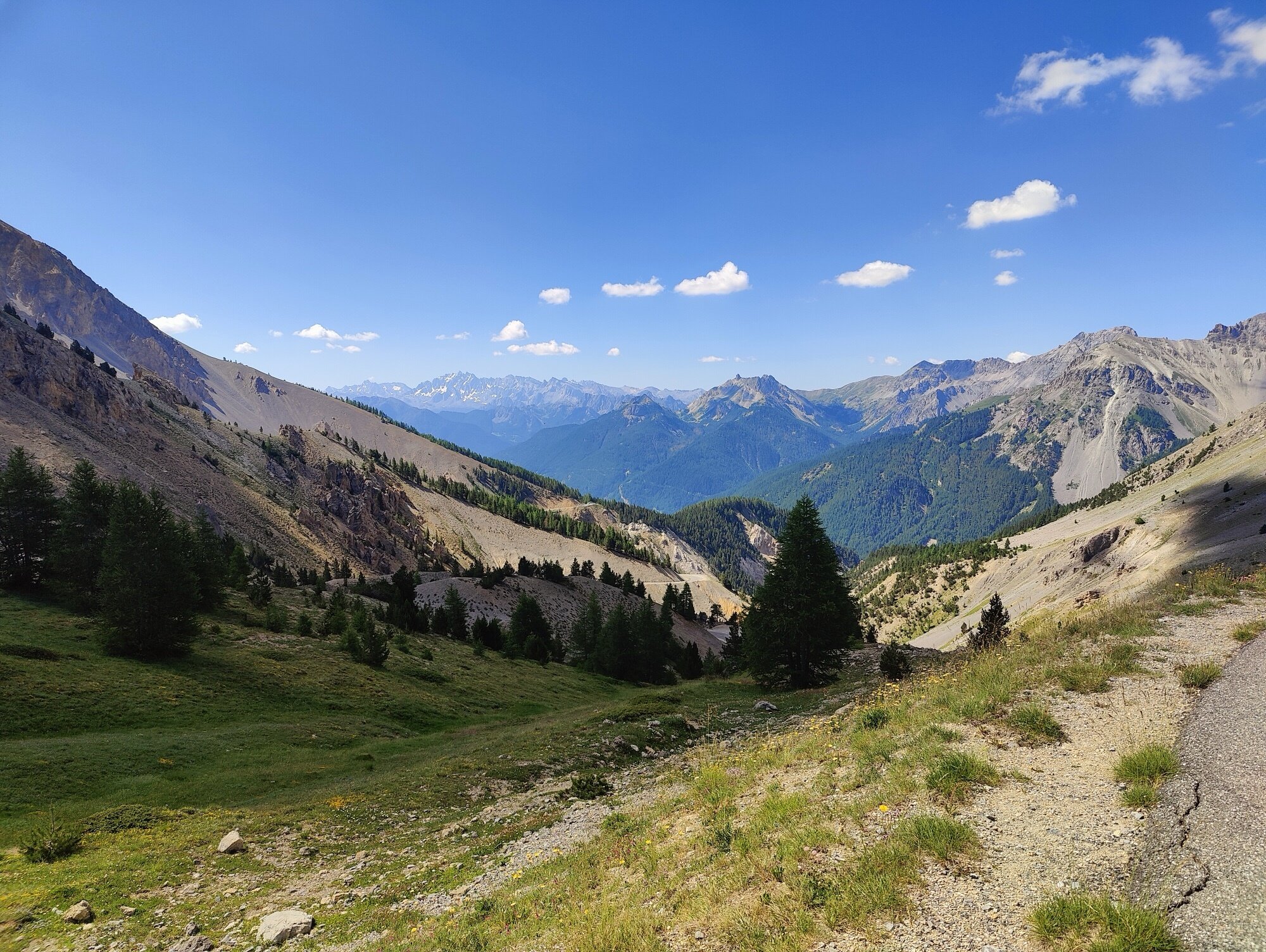
It was really hot that weekend, and I was glad to have started early for a climb this exposed. This was my first time on the Izoard, and it was everything I’d hoped for. Few cars, a steady grind through forest on the lower slopes, the air thinning noticeably with the altitude.
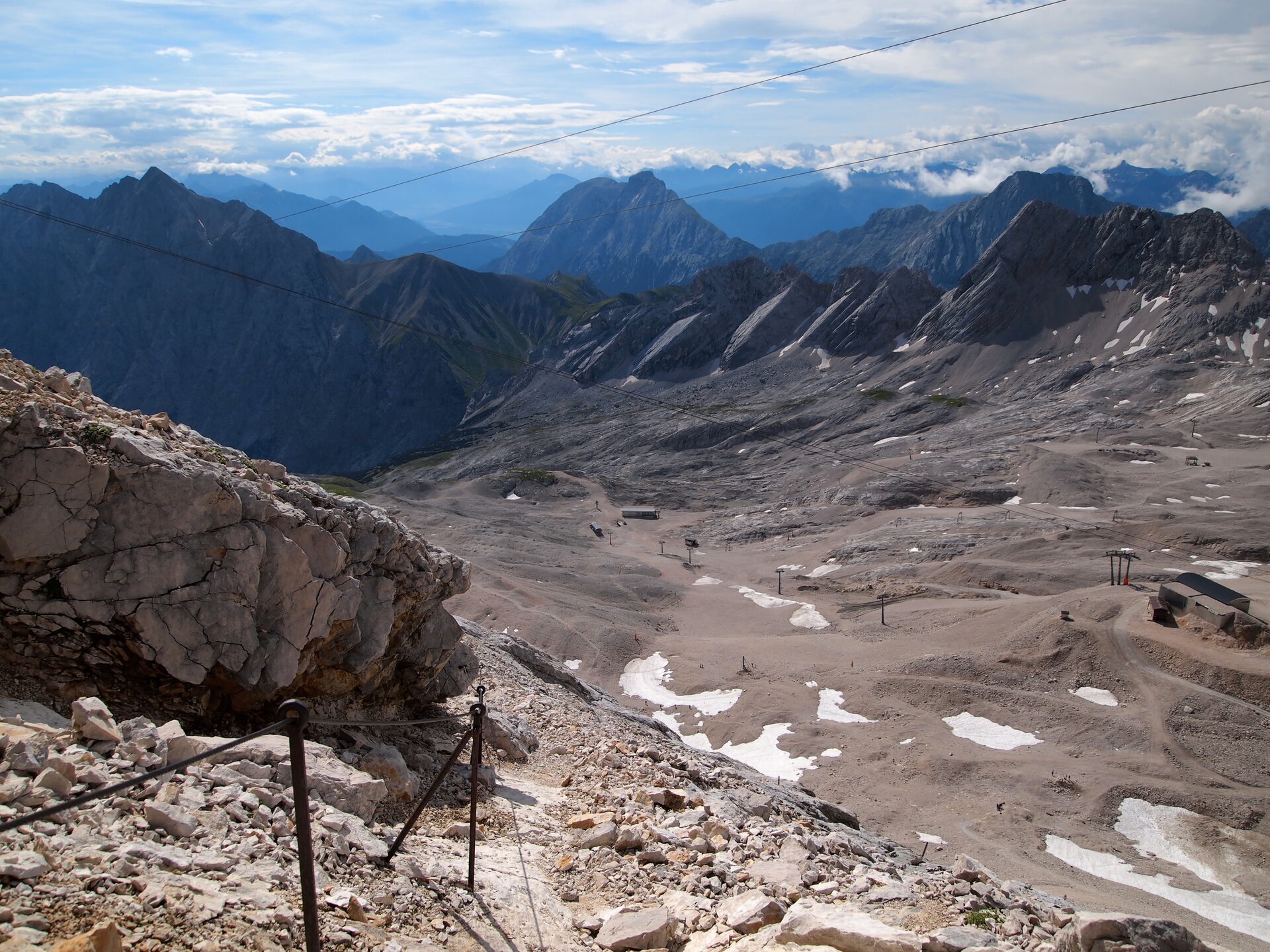
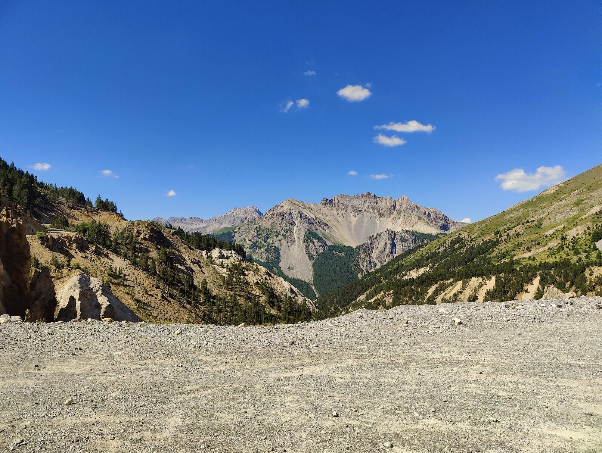
Then, near the top, the forest drops away and you enter the Casse Déserte — a surreal expanse of eroded rock pillars and scree. No trees, no vegetation, just wind and stone. There’s even a slight dip before the final push to the summit, which only adds to the otherworldly atmosphere. It’s unlike anything else in the Alps.
I could feel the extra weight of the bags on the steeper sections — maybe four or five kilos total, but on gradients of 9 or 10 percent, my gearing was barely enough. Any steeper and I’d have had to push much harder on the pedals to maintain the same speed. Good to know for the Route des Grandes Alpes: the gearing needs to account for the load, not just the gradient.
At the summit, I stopped and chatted with a few people, including a couple from Grenoble who’d driven to Briançon and ridden up for the day. When I mentioned I was heading back to Grenoble — by bike — we had a good laugh about the difference in approach. Same col, very different ways to experience it.
The descent toward Briançon was fast and flowing — long sweeping turns, over a thousand metres of altitude shed in a handful of kilometres. I stopped in Briançon for a proper break before the next climb.
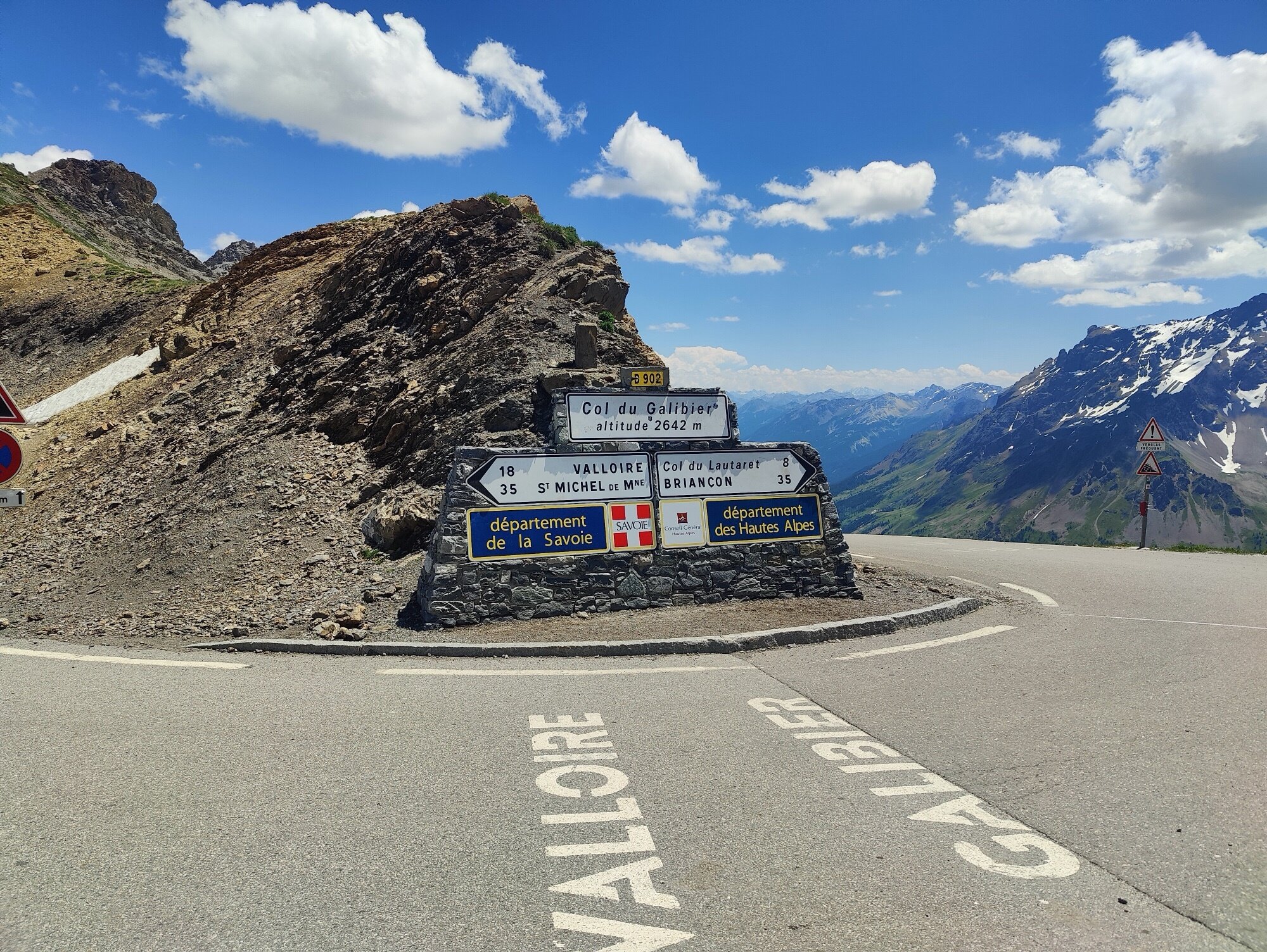
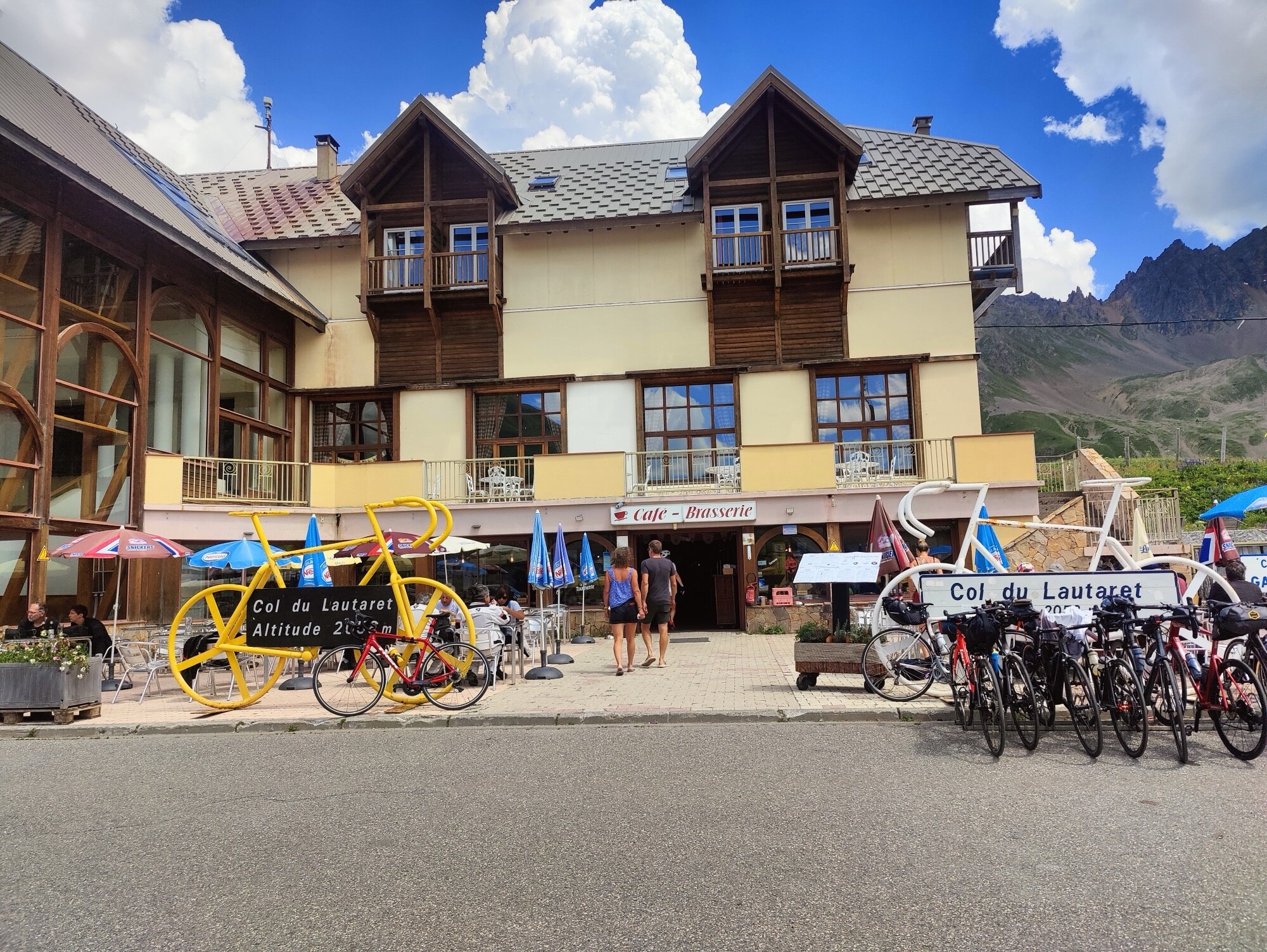
Col du Lautaret — 2,058 m
I knew the Lautaret would be a different kind of effort — longer, less steep, and honestly a bit less exciting. The road carries more traffic than the Izoard, and the lower gradients mean you spend more time grinding out each metre of elevation. Not unpleasant, but after the drama of the morning, it felt more like a steady slog.
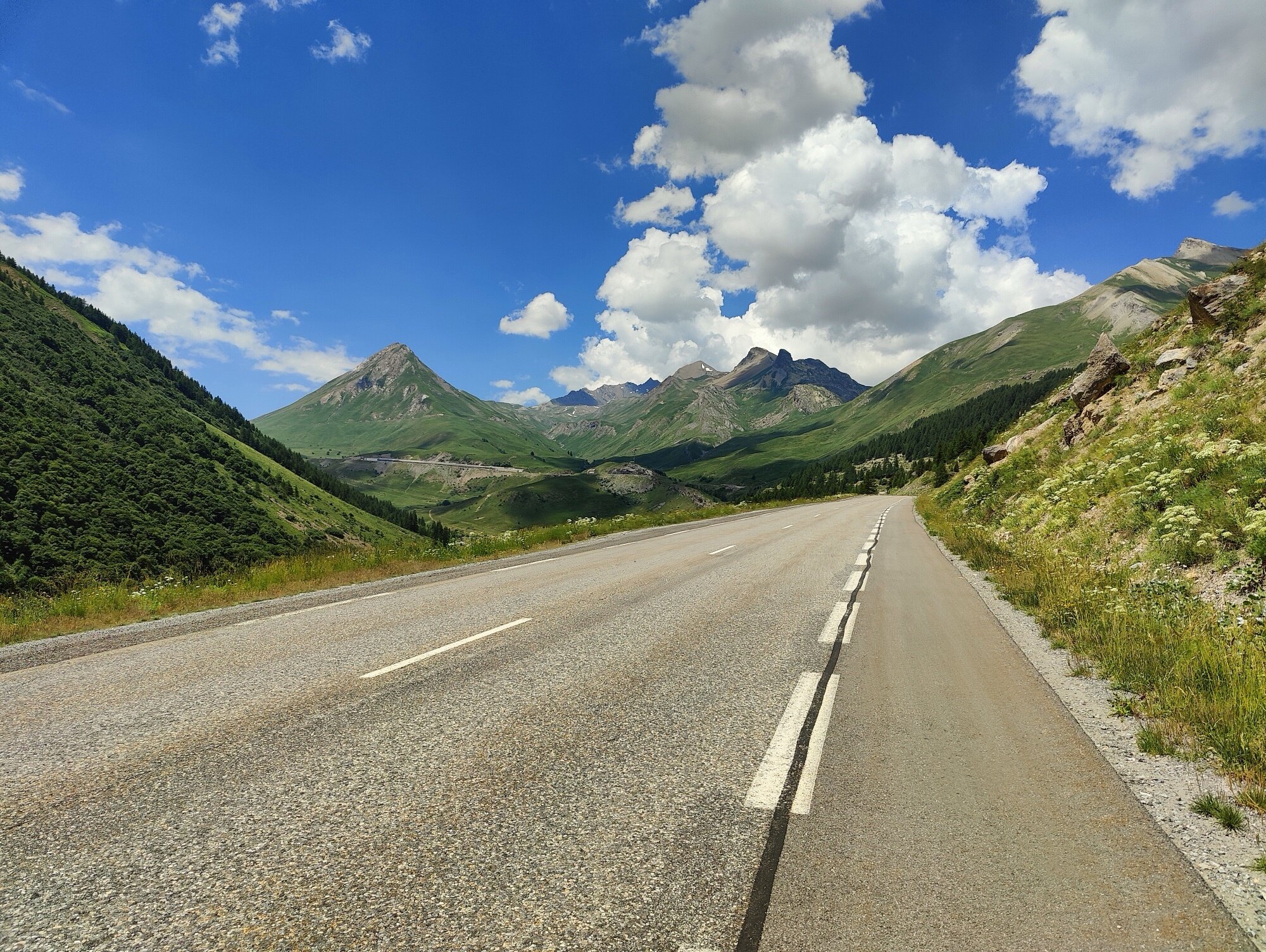
At the summit I was back on familiar ground — I’d been here on my Galibier ride from Grenoble. From the Lautaret, I knew exactly what was ahead: the long descent through the Romanche valley, then the false flat home. A coffee and a crêpe at the summit café, and I was on my way.
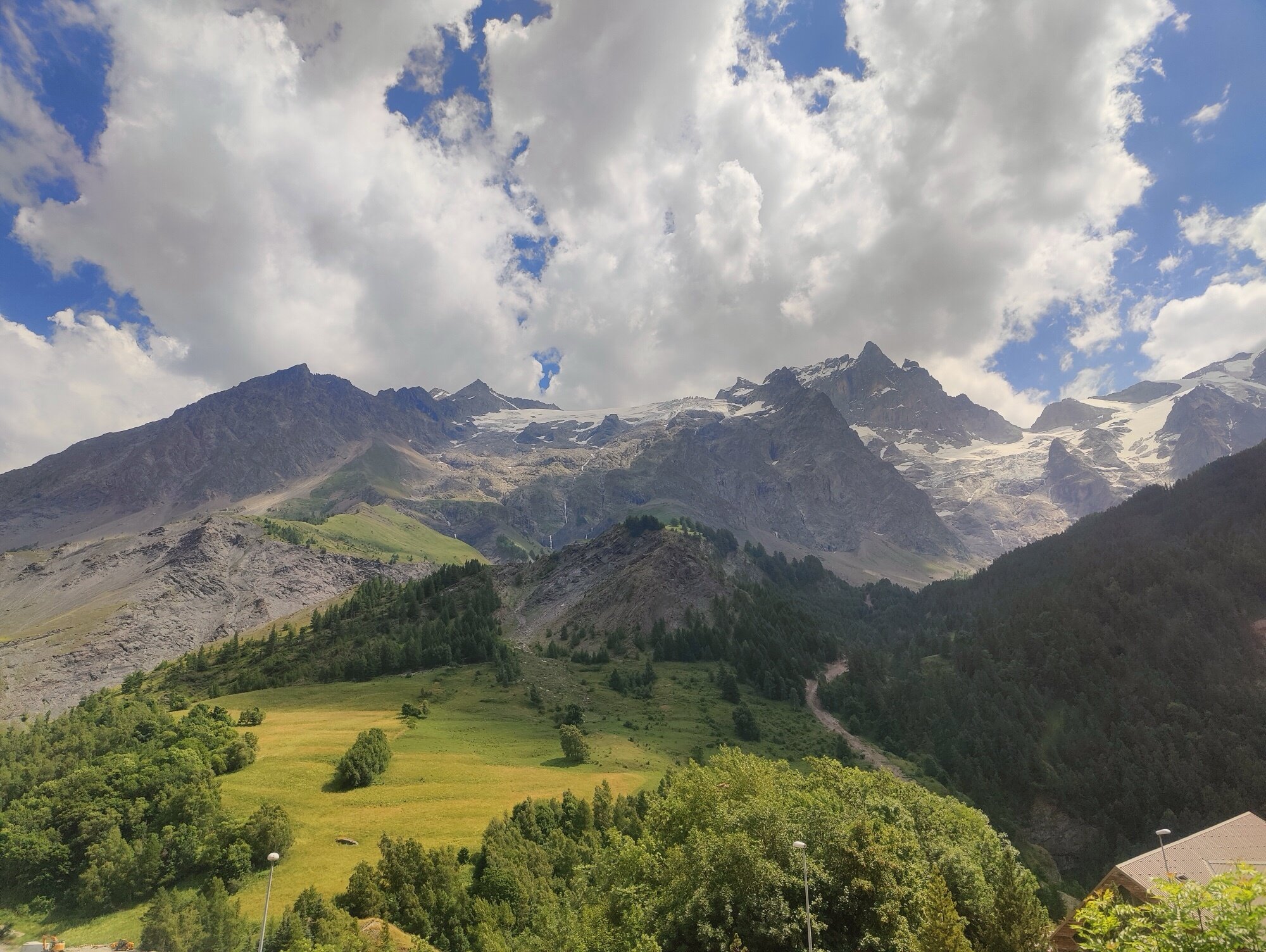
The descent — La Grave, the Romanche, and home
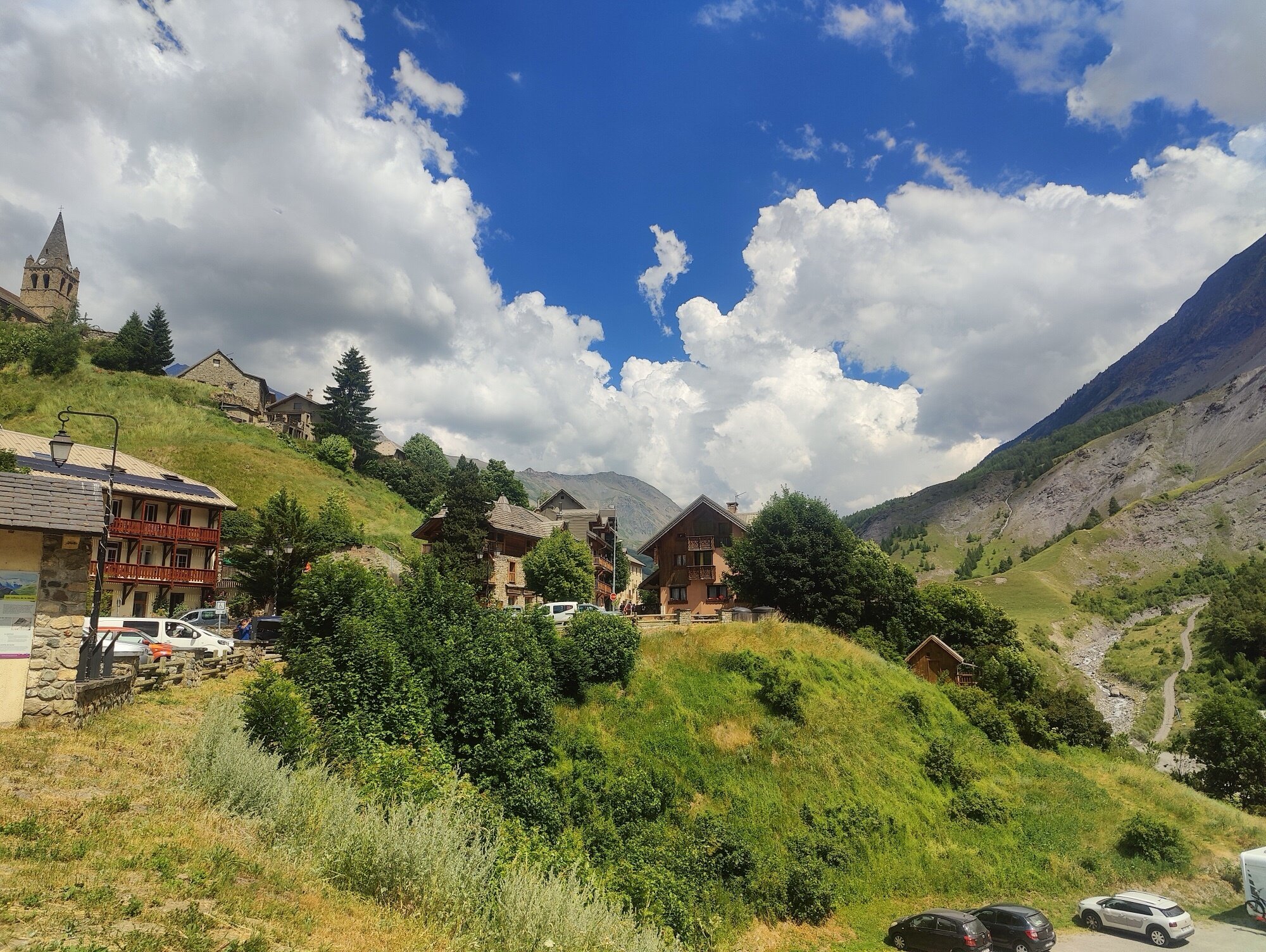
There’s a satisfying feeling at the Lautaret, knowing the hard climbing is essentially done — but you still need to hold it together for the remaining distance. The road drops quickly, and within minutes La Meije’s north face fills the view: hanging glaciers, séracs, impossibly close. Then La Grave, huddled below — stone houses and a bell tower, the kind of place that makes you brake even when the legs are begging for home.
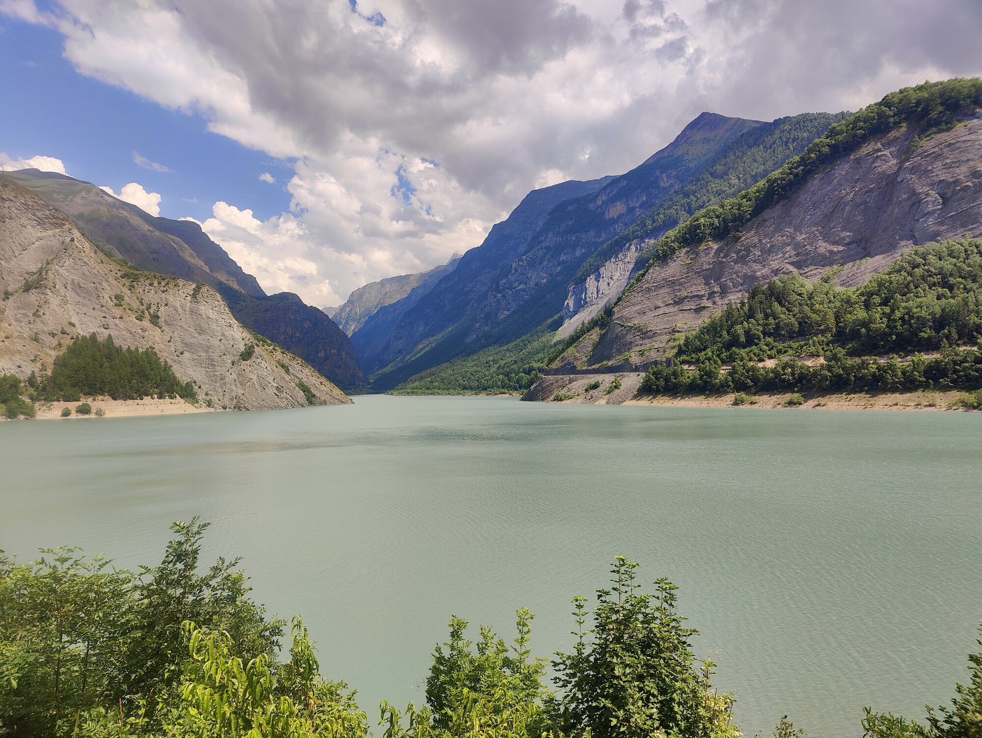
Below La Grave, the road passes Lac du Chambon — glacial meltwater wedged between steep valley walls, milky green from sediment. The sky was beginning to cloud over for the first time in two days.
From there, it was villages: Bourg-d’Oisans, Vizille, and eventually the bike path along the Romanche back into Grenoble. The last 40 kilometres were flat and fast, legs turning on autopilot. There’s a slightly tedious stretch between Rochetaillée and Vizille where the road is less pleasant, but then the bike path picks up again for the final run into the city centre.
The numbers
| Day 1 | Day 2 | Total | |
|---|---|---|---|
| Distance | 170.9 km | 170.2 km | 341.1 km |
| Elevation gain | 2,912 m | 2,688 m | 5,600 m |
| Elevation loss | 2,155 m | 3,461 m | 5,616 m |
| Max elevation | 1,272 m | 2,360 m | 2,360 m |
Two days, two very different rides. Day one was a long, rolling journey through the southern Alps — no single massive climb, but a relentless accumulation of elevation through passes, valleys, and lakeside roads. Day two was all about the cols: the Izoard with its Casse Déserte, the Lautaret with its views of La Meije, and a long descent to finish.
This was my first real test with a loaded bike, and it confirmed what I’d hoped: that it’s entirely possible to set off from home with just a bike and a few bags and cover serious ground in the mountains. The extra weight changes the riding — you feel it on every climb — but the freedom of not depending on a car or a transfer is worth it. It was also the perfect rehearsal for the Route des Grandes Alpes a few weeks later, giving me a realistic sense of what loaded stages would feel like in terms of distance, elevation, and fatigue.
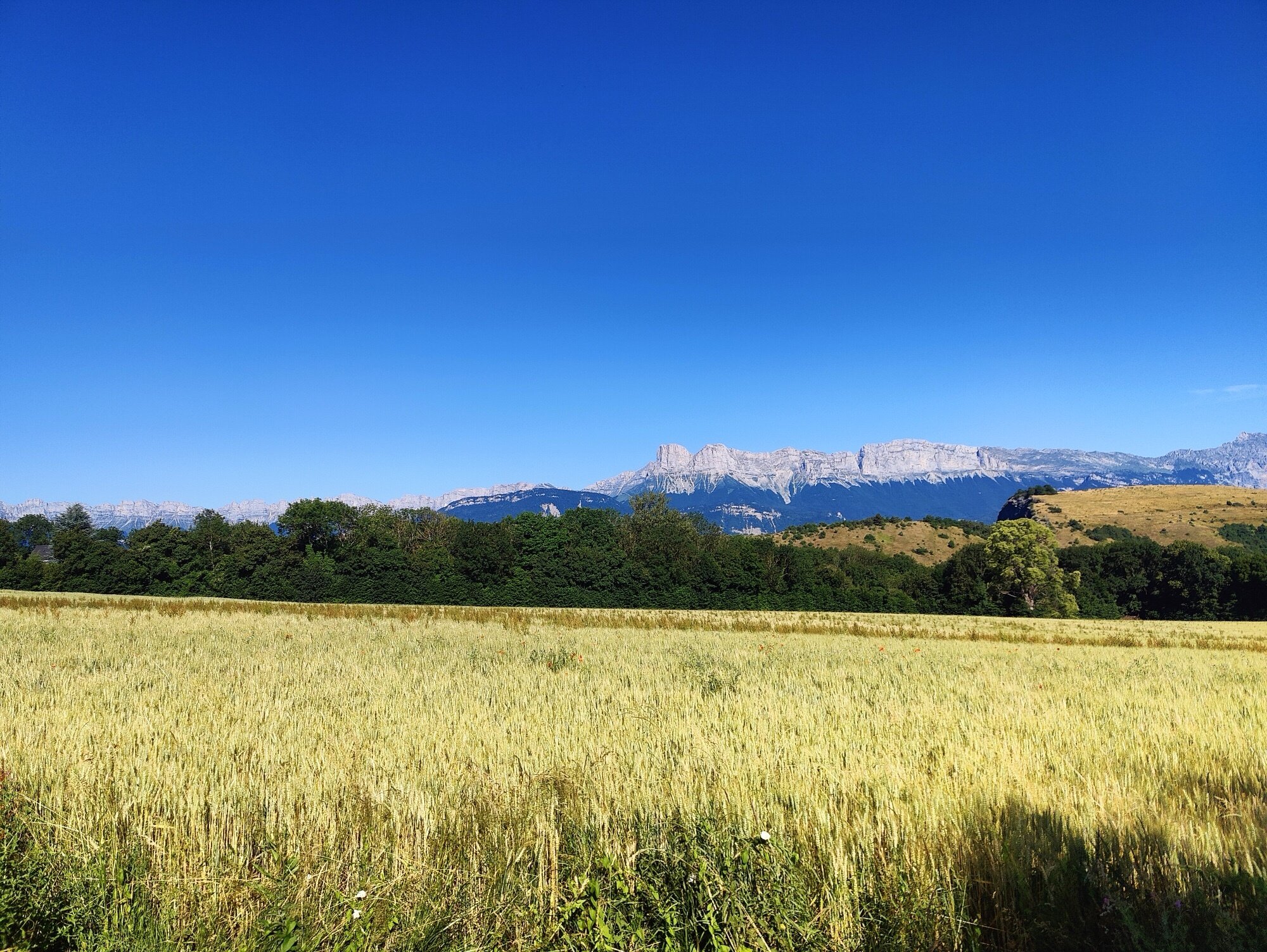
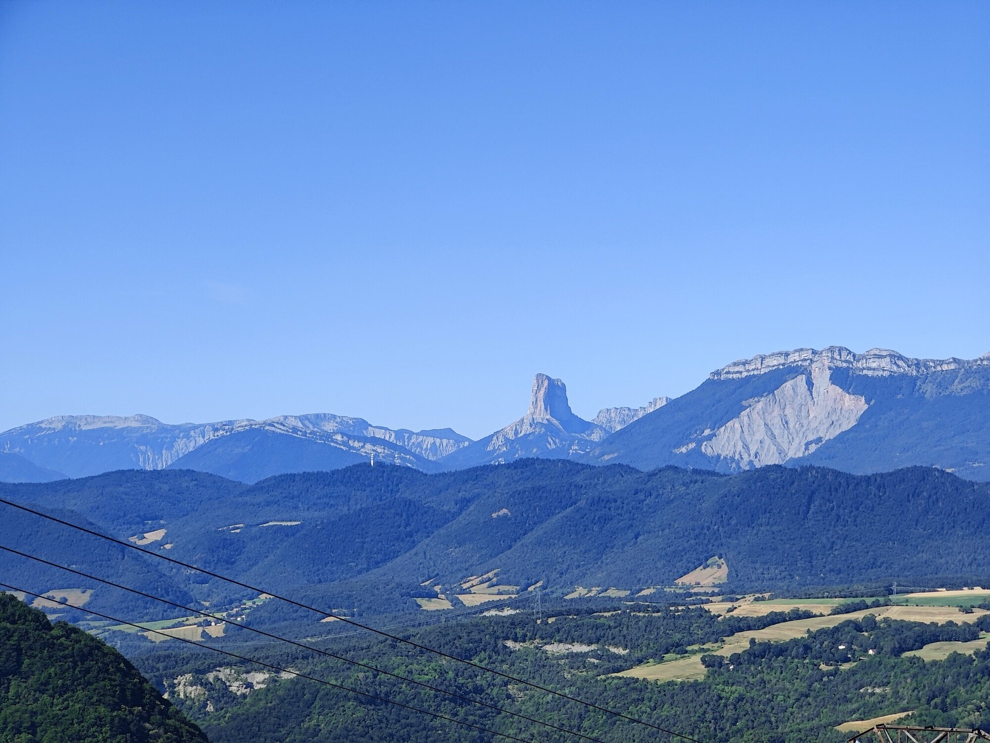
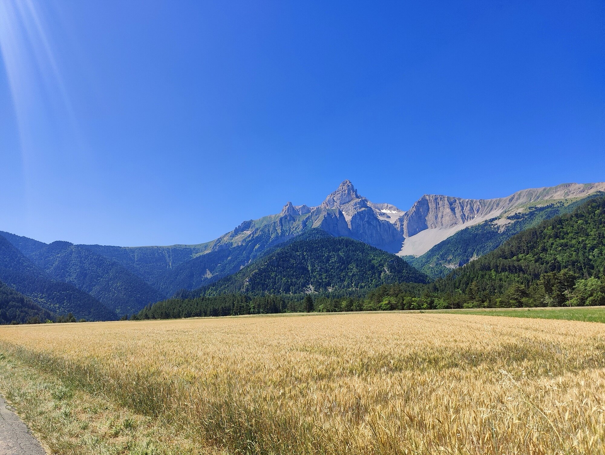
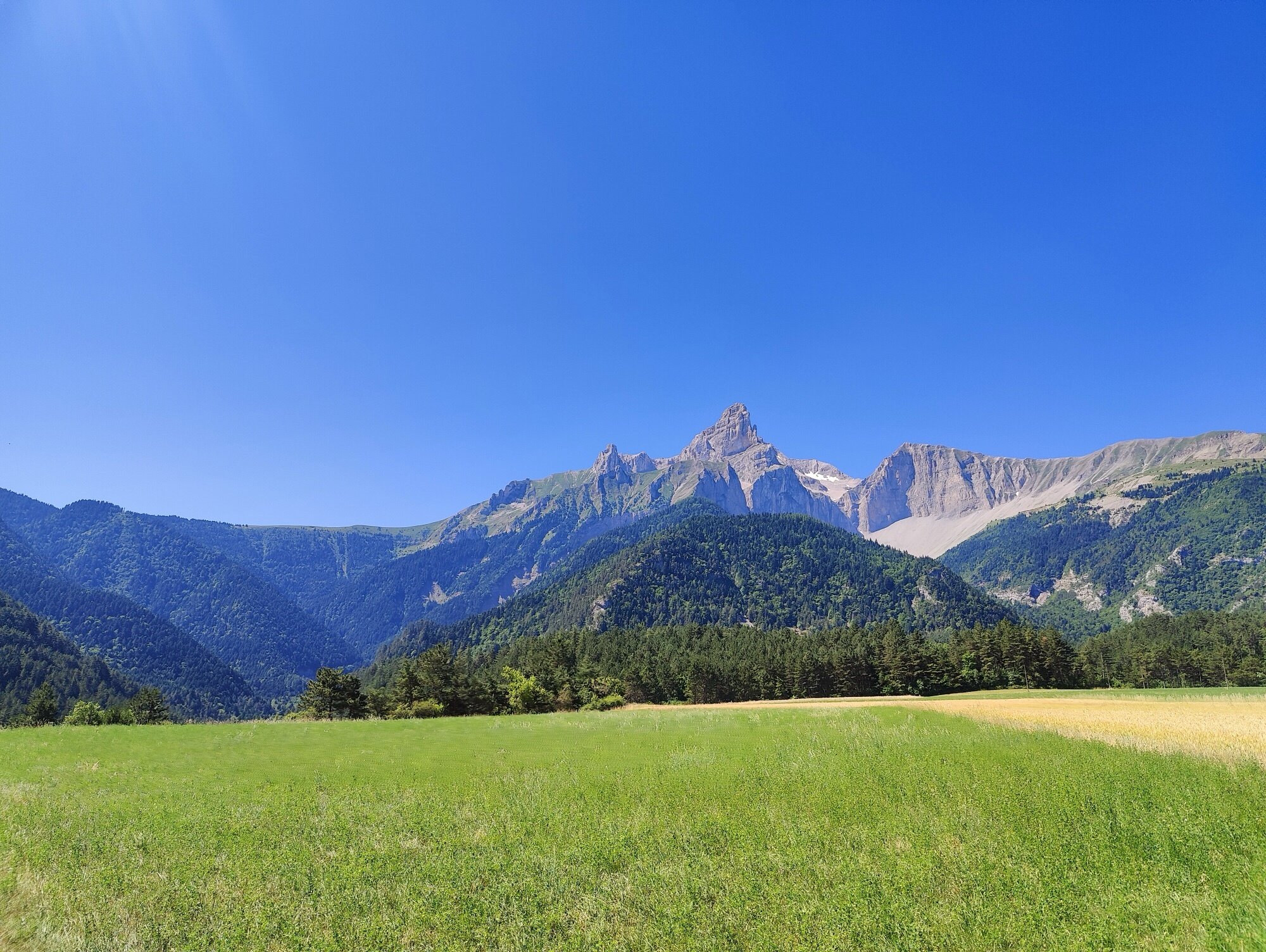
The loop is a natural circuit through some of the most varied terrain in the French Alps — wheat fields, turquoise lakes, hand-blasted gorges, lunar moonscapes, glaciers. Every section brings something new, and it starts and ends at the doorstep. I hope this gives a sense of what’s possible from Grenoble with a couple of days and a loaded bike — and maybe the motivation to plan your own loop, wherever you are. Sometimes that’s all it takes to get moving.