Col du Galibier: Out and Back from Grenoble
Activity stats
Download route data
Import this GPX file into your GPS device or mapping app.
The Col du Galibier — 2,642 metres, one of the most legendary climbs in cycling. The plan: ride there from Grenoble and back in a single day. No car, no train, no shortcuts. 200 km of road with a massive col in the middle, and the same road to ride back on tired legs.
The 7 a.m. start
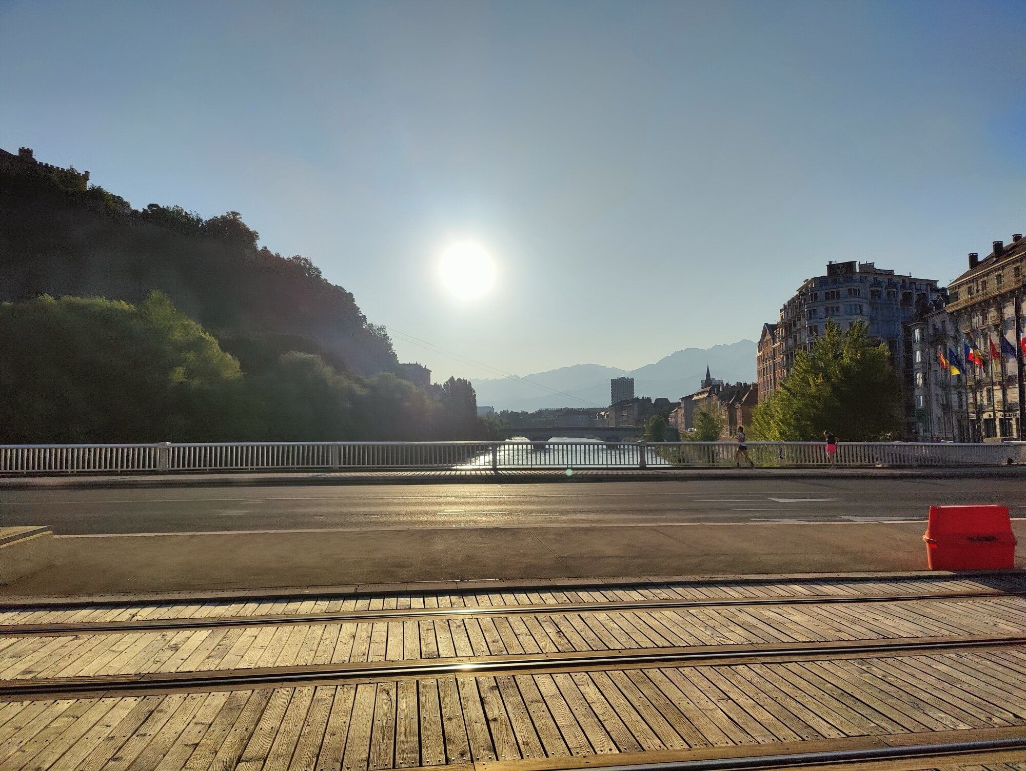
By 7 a.m. on a morning in June, the sun was already fairly high. Grenoble was just starting to wake up. I cut through the city centre quickly to reach the bike path and head south.
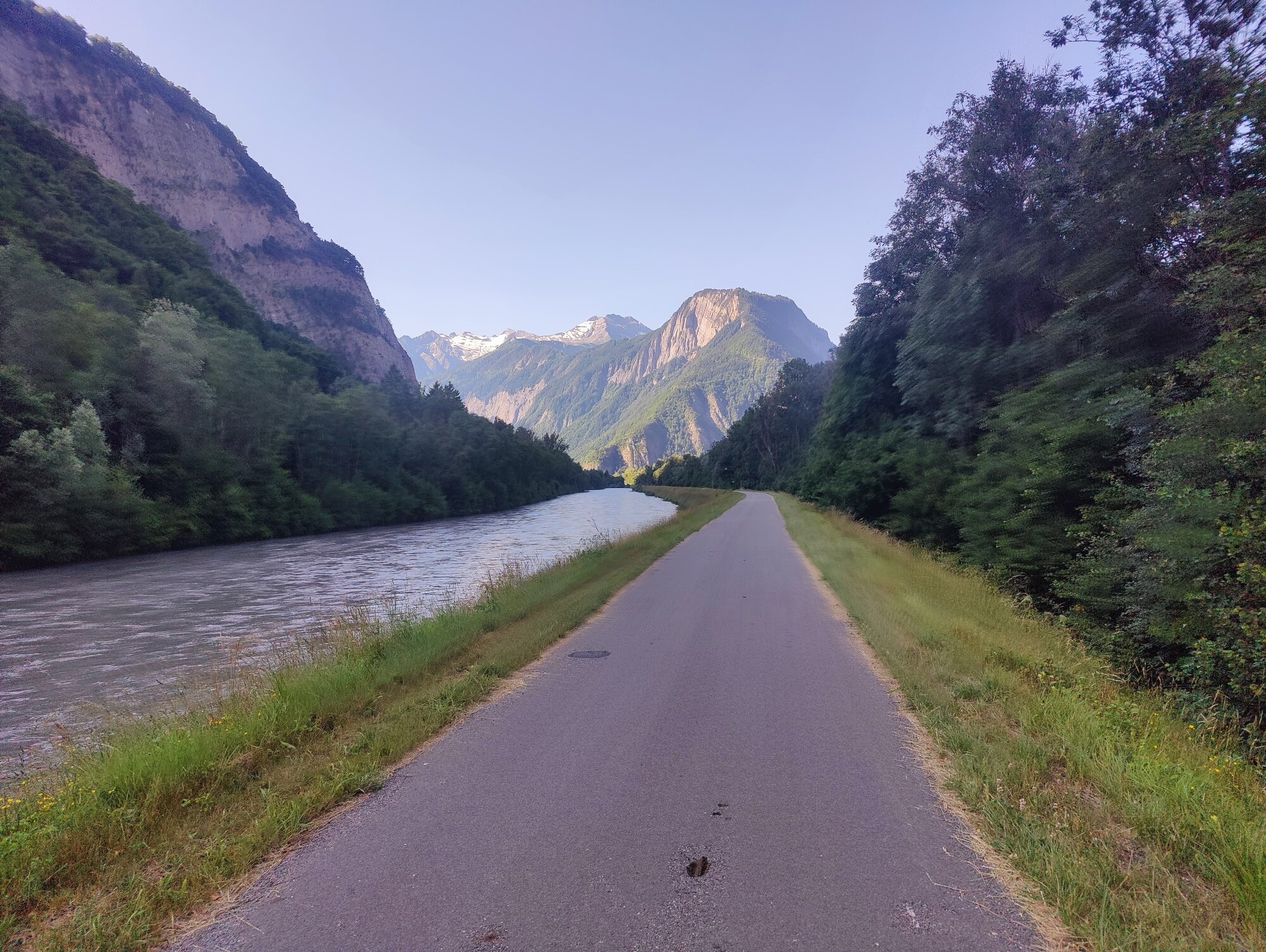
The bike path runs all the way to Pont-de-Claix, then on to Vizille — a recently built piece of infrastructure, but a very pleasant one. Especially in the morning, when traffic alongside is still quiet and the cool air makes the first kilometres easy. This is the gentle part of the day.
The Romanche valley
From Vizille, the slightly dreaded section begins. A long false flat climb, mostly on a painted bike lane directly on the departmental road. I already knew this stretch from driving it several times, and from cycling it too — but always on the way down. Unfortunately, there’s no alternative: it’s the only road through the Romanche valley. Unless you want a major detour over another pass, but that wasn’t the point today.
Starting early did help avoid most of the traffic. The bike lane is wide enough to feel comfortable, even though cars pass fairly close and sometimes at high speed. It also motivates you to push harder on the pedals — get through this section faster and reach the proper bike path along the Romanche.
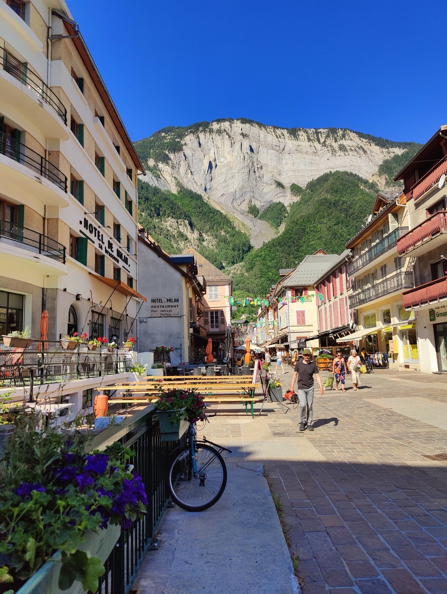
Because from Rochetaillee, at the intersection that leads toward the Col de la Croix de Fer, a proper bike path follows the river all the way to Bourg-d’Oisans. Arriving around 9 a.m., I stopped to refill the water bottles and eat something before the real climbing began. This is also the moment when cyclists gather at the foot of the legendary local climbs — Alpe d’Huez, the Col de la Croix de Fer, and the other iconic ascents of the Oisans valley.
Into the high mountains
From Bourg-d’Oisans, the road climbs gradually. The Col du Lautaret is already announced on road signs — still 35 kilometres to the top of the pass. The road is actually quite pleasant — I’d expected heavy traffic, but it was relatively calm.
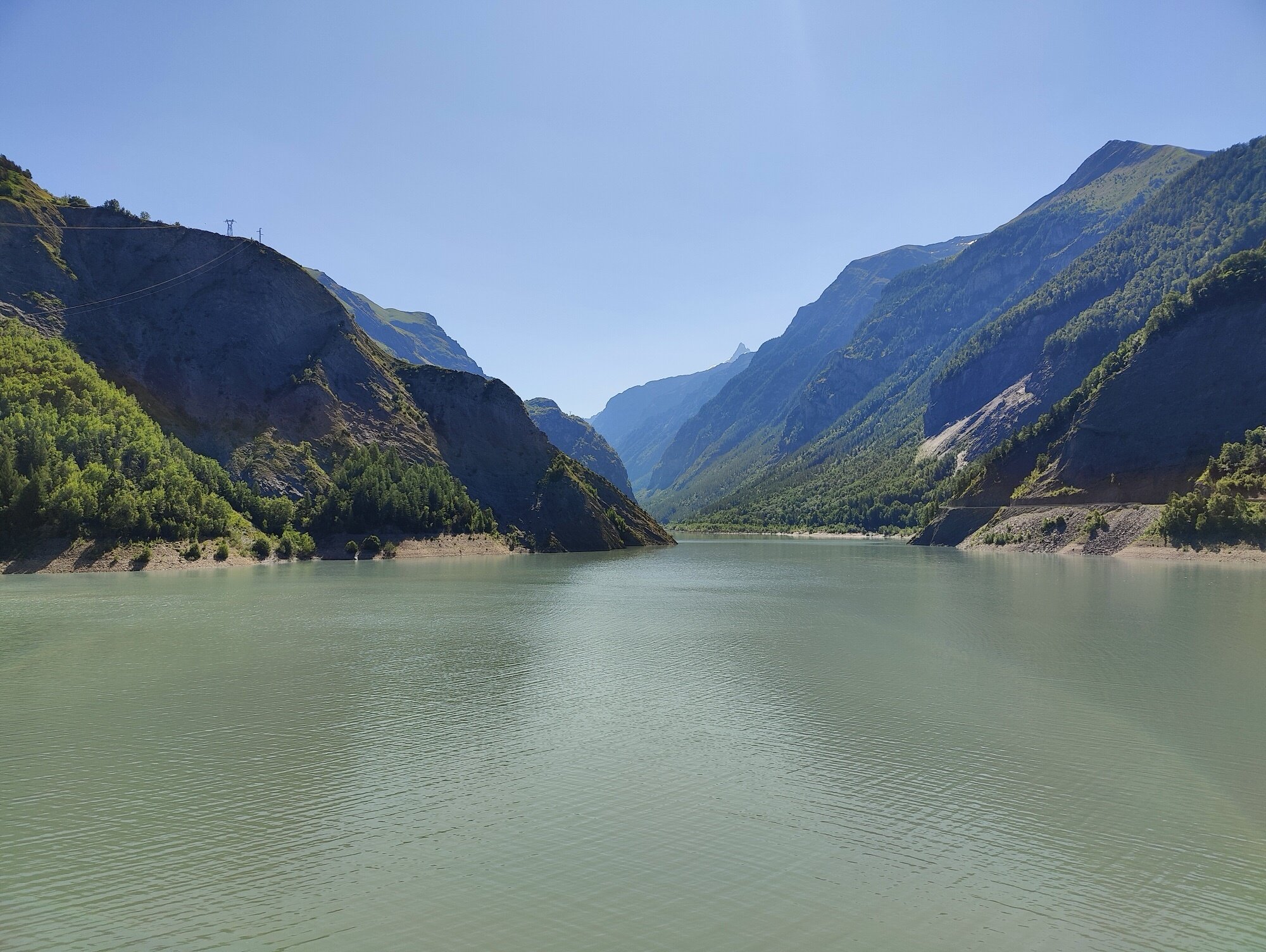
The Lac du Chambon appeared with a stunning view of the dam, turquoise water wedged between enormous rock walls. And the weather that day was absolutely superb — blue skies, warm sun, the perfect conditions for this kind of adventure.
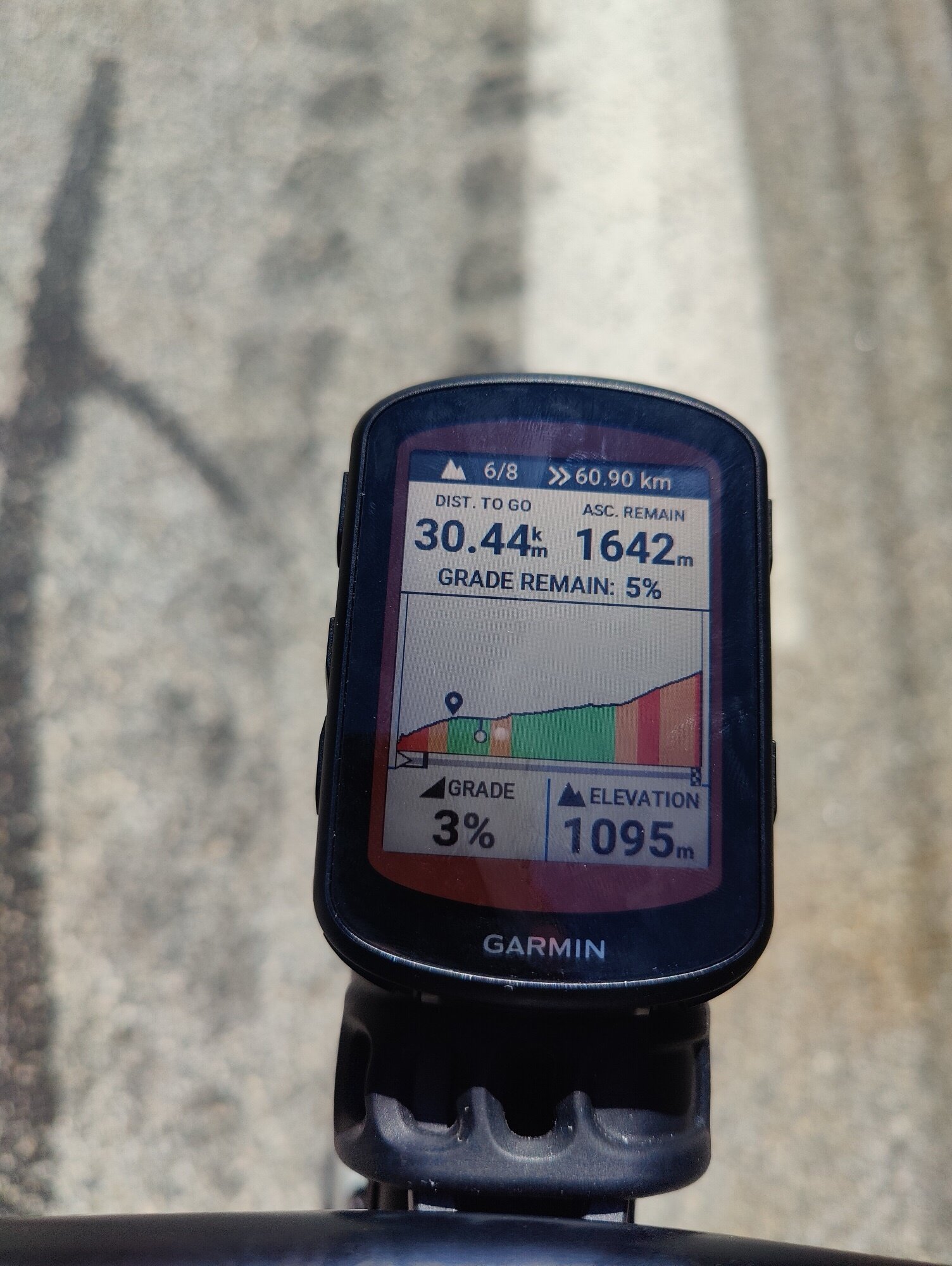
I’d pre-loaded the GPX track on the Garmin beforehand, which let me see just how much climbing was still ahead. It’s a long ascent when you start from the Grenoble basin at 200 m and aim for one of the highest road passes in France.
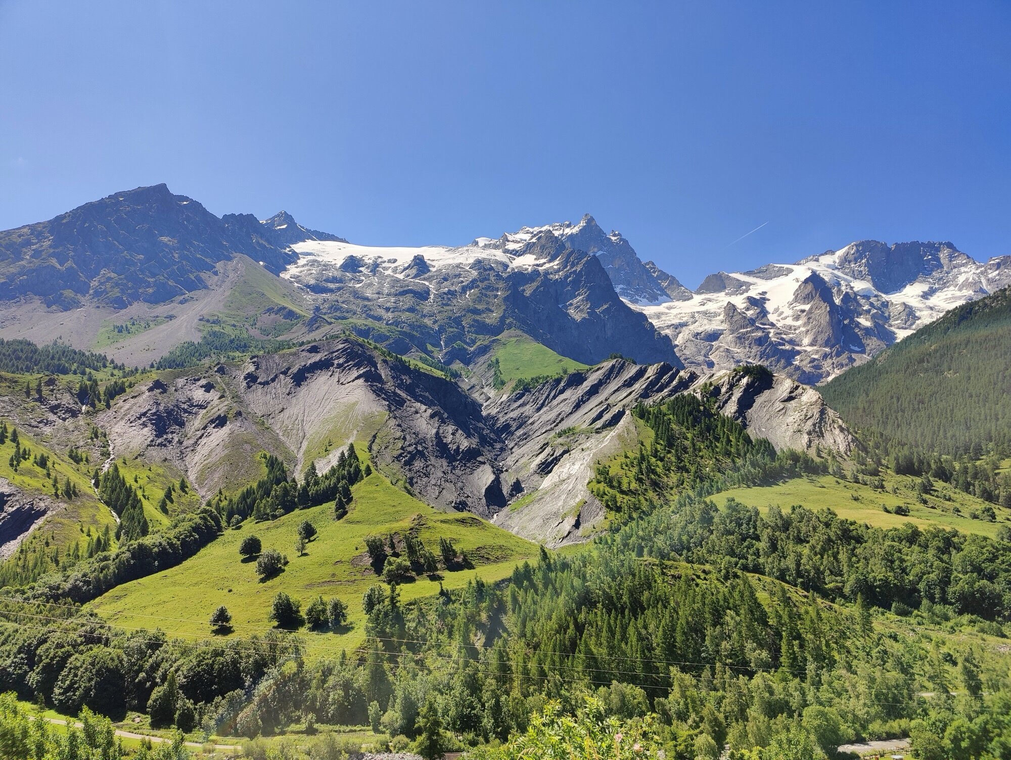
Deeper into the valley, the road passes through charming villages like La Grave, with its magnificent view of the north face of La Meije (3,983 m) — one of the most dramatic mountain walls in the Alps, with glaciers hanging off near-vertical rock and the Ecrins massif stretching out behind. You can actually see La Meije from the Vercors, right next to Grenoble. There’s something slightly surreal about realising you’ve made it to the foot of this mountain entirely under your own power on a bike.
Col du Lautaret
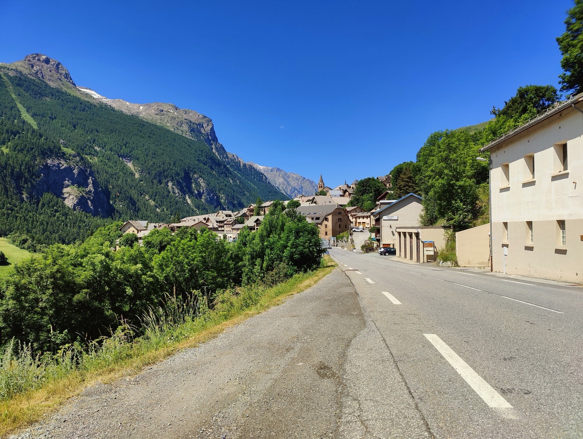
The road continues. Past Villar-d’Arene, the last village before the high passes, the final kilometres toward the Col du Lautaret become steeper — which finally gives the feeling of actually climbing a pass, rather than the very long gradual ascent that started all the way back in Grenoble.
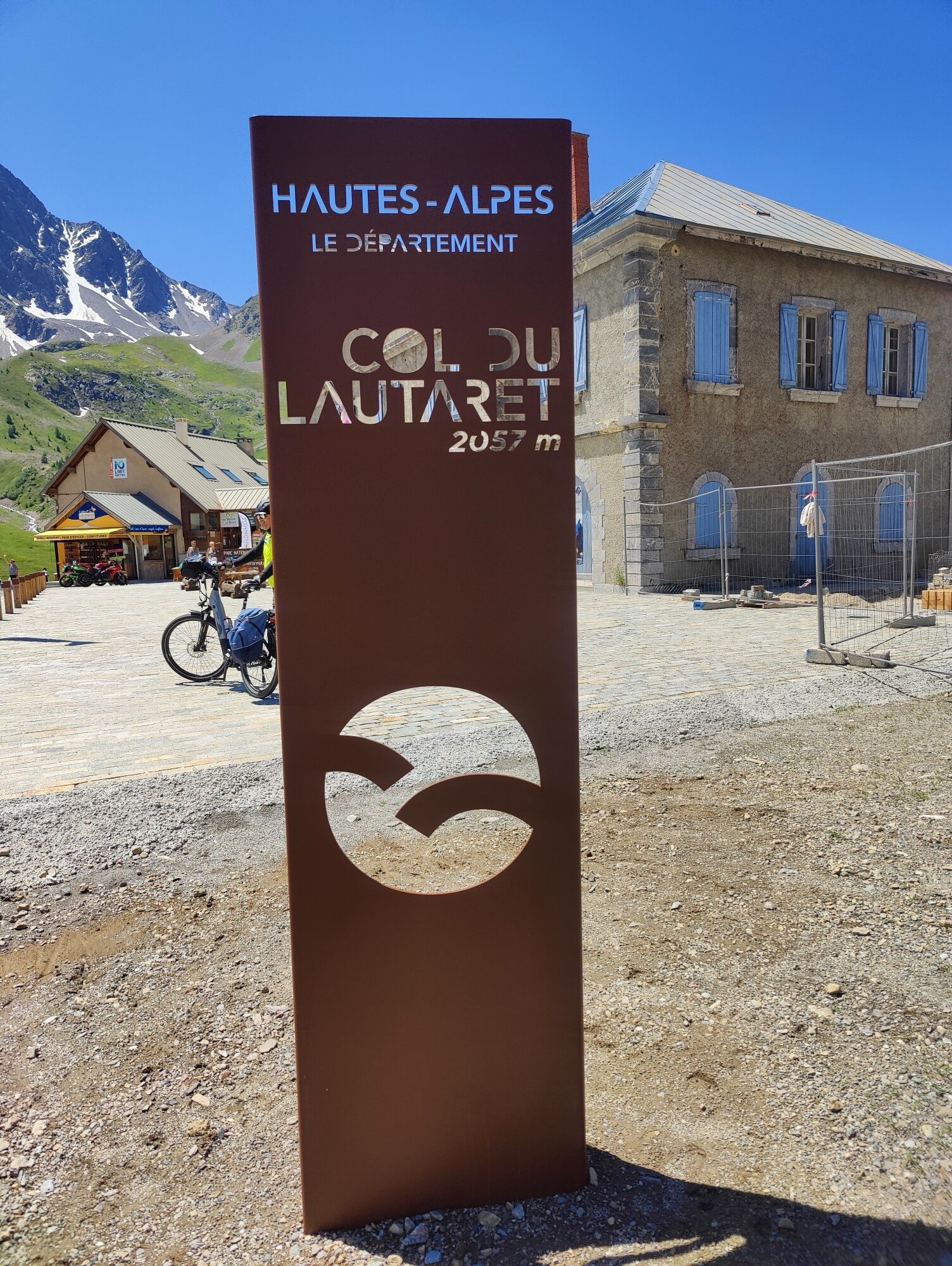
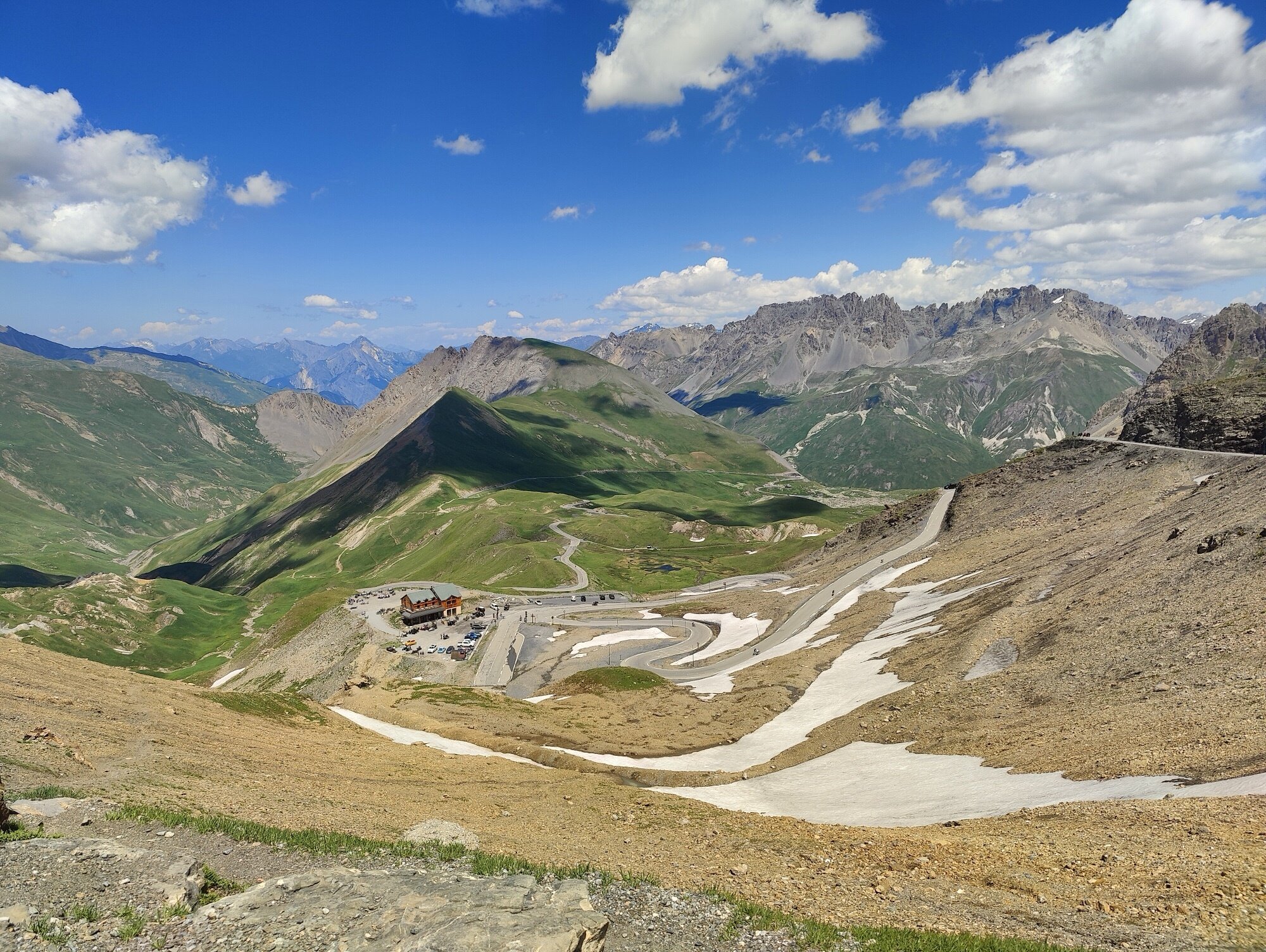
At the Col du Lautaret (2,057 m), it was nearly noon. I stopped for a lunch break to refuel before the final push to the Galibier. The Lautaret is sometimes seen as just a waypoint, but it’s a proper pass in its own right — a strategic crossing since Roman times, marking the border between the Romanche and Guisane valleys.
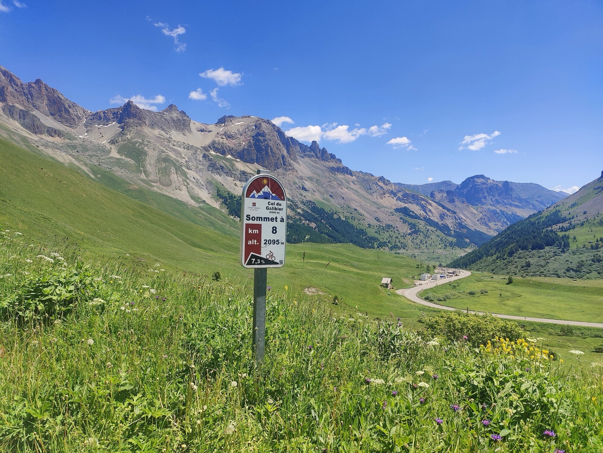
The Galibier
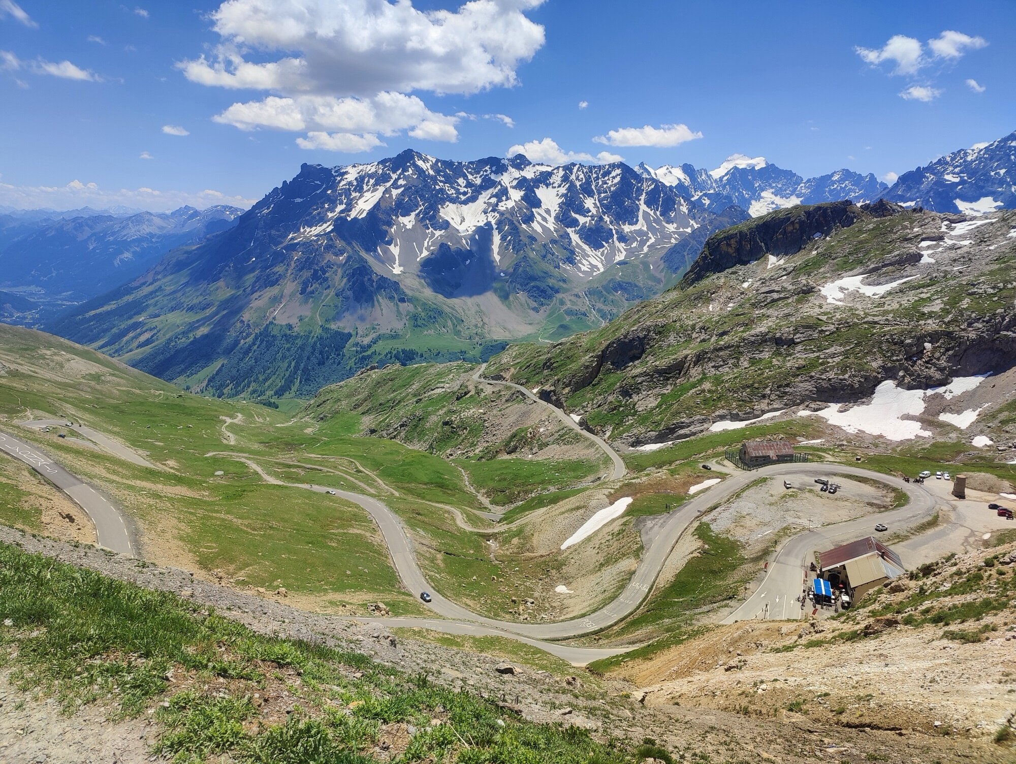
Eight kilometres to go, and this is where the iconic switchbacks start to appear. The climb is relatively quiet — far fewer cars than on the main Lautaret road. And the density of cyclists increases noticeably.
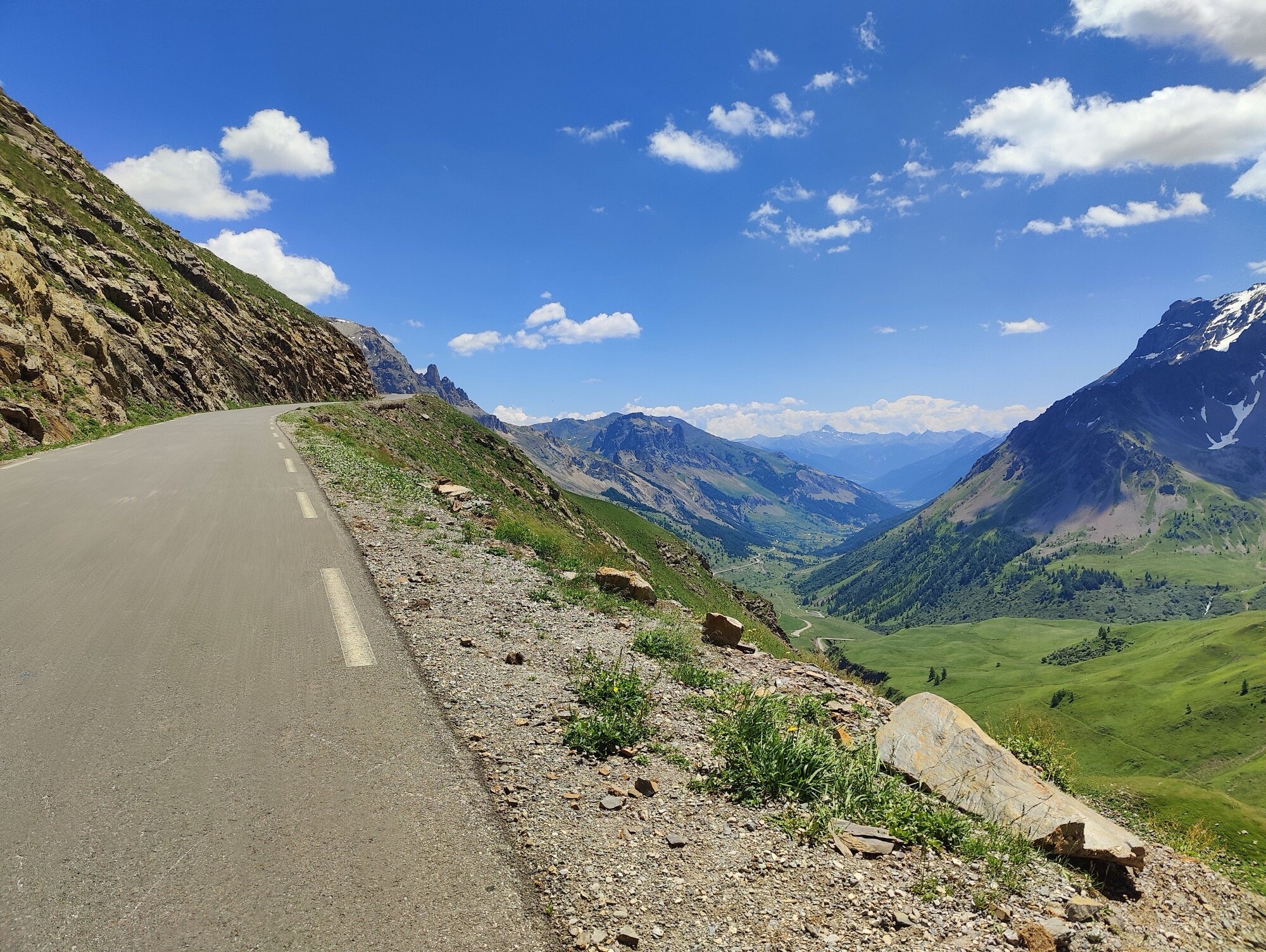
The further you go, the more the col reveals itself. The switchbacks are clearly visible in the distance, and with each turn the landscape becomes increasingly vertiginous. The valley drops away below, the views become absurdly beautiful.
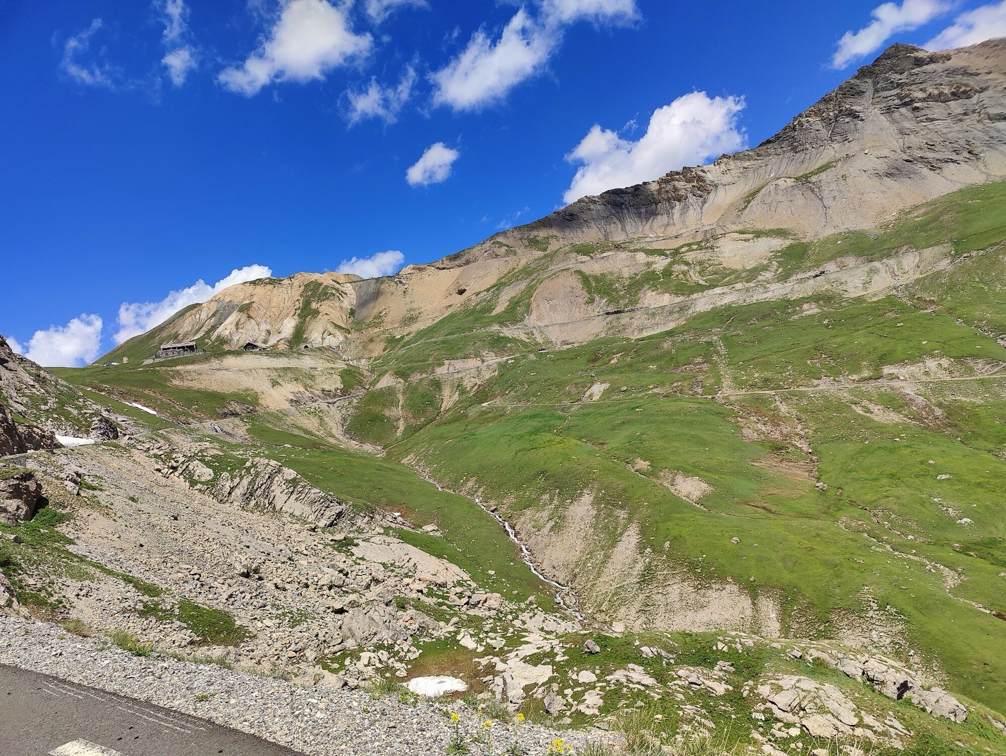
I reach the tunnel entrance first — the tunnel that lets cars bypass the col entirely, cutting straight through to the Valloire side. In my case, I continue one more kilometre above, up to the famous Col du Galibier.
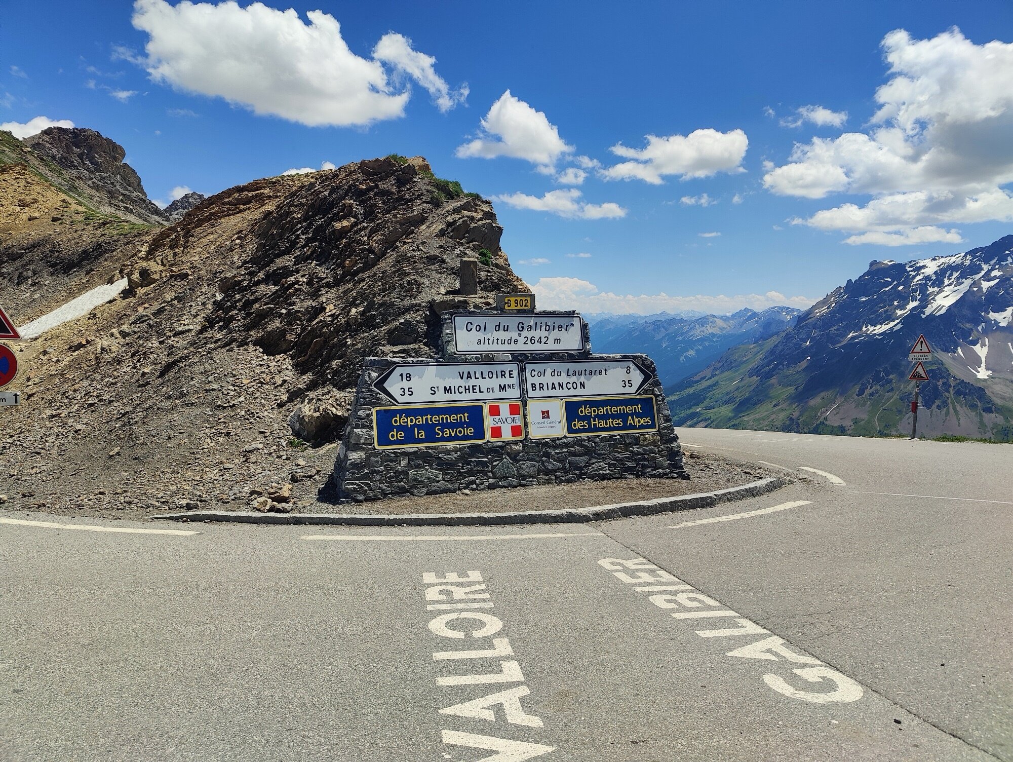
At the top
Col du Galibier, 2,642 m. The iconic summit sign, marking the two departments on each side — Savoie and Hautes-Alpes. On one side, a sweeping view of the Ecrins massif. On the other, the valley dropping down toward the Maurienne. The panorama is simply magnificent.
The sense of accomplishment is real. And from here, it’s mostly downhill to get home. That alone does wonders for the morale.
The long road home
After a pause at the summit to soak it in and celebrate the climb, I get back in the saddle to head down toward Grenoble.
With the weather still warm and pleasant, the descent is a genuine pleasure. The kind of descent that drops gradually enough that you don’t need to brake much or pedal much — a lot of freewheeling. There are a few spots that require pedalling again, small climbs of a few dozen metres that add a bit of elevation to the total. But they also help restart the legs, so it’s not that problematic.
Since it’s an out-and-back, I pass through the same villages, the same road, all the way back to Bourg-d’Oisans. Then it’s back onto the bike path along the Romanche, before the less pleasant stretch to Vizille. But this time, since it’s a false flat downhill, shifting into the big ring and pushing a bit on the pedals makes it significantly faster.
From Vizille, it’s mostly flat on the bike path — a pleasant end to the day, on paths I know well since they’re close to Grenoble. And this is when the feeling of mission accomplished settles in. This challenge that had been rattling around in my head for a while is finally done. I arrive back in Grenoble with the pride of that accomplishment.
There’s a particular satisfaction in knowing you left from home on a bike, pedalled all the way to a legendary col like the Galibier, and came back — all of it under your own power, from your own front door. No car to get closer to the start, no shuttle, just the bike from beginning to end. 200 kilometres, 2,742 metres of climbing, and one of the most iconic cols in cycling.
Hopefully this kind of ride can inspire others to try similar adventures — not necessarily the Galibier, but maybe a more local pass, a loop from home, or simply the desire to see how far the legs can take you.
The numbers
| Metric | Value |
|---|---|
| Total distance | 199.1 km |
| Elevation gain | 2,742 m |
| Max elevation | 2,642 m |
| Moving time | ~9h 30min |
| Total time | ~11h 30min |
| Cols crossed | 2 (Lautaret + Galibier) |